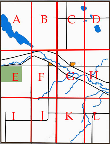
Historic Maps of the Caron Rural Municipality
In 1980 in recognition of
"Celebrate Saskatchewan Year", the residents of the
Caron Municipality compiled a history of the area
entitled "From Buffalo Trails to Blacktop".
Within that book they published a map of the RM that
identified the owners of each quarter section from the
ealiest days of settlement to 1980. The RM map
was divided into 12 sections for the purpose of
publication. I have reproduced those maps and
you can see them by selecting the appropriate letter
below that corresponds with the part of the RM that
interests you. As the book explains, "Within
Caron R. M. are Townships 16, 17 and 18, in Ranges 28,
29 and a fraction of 30, all west of the 2nd
Meridian. The 3rd Meridian forms the western
boundary."
|
