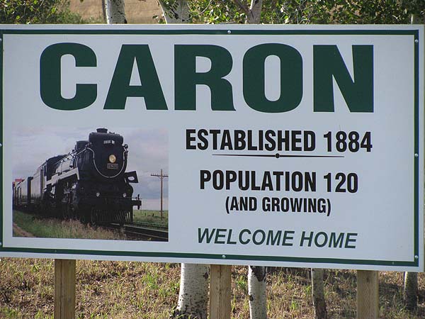
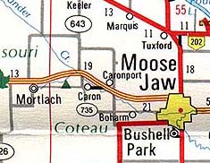
 The Hamlet
of Caron is located a little over 20 miles west
of Moose Jaw just off the Number 1 Highway.
 During the last ice age the
fields of ice advanced across what is now
Saskatchewan gouging their way over the land
taking with them rocks and soil. When they
stopped their advance the melting began, and as
the ice retreated a huge pile of gravel, rock
and earth, known as a terminal morain, marked
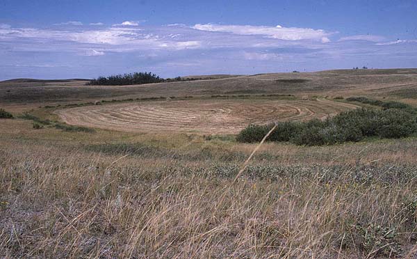
the point of its furthest advance. Today,
as you look southwest from Caronport you can see
the village of Caron sitting on the material
deposited beneath the glacier but in the
distance rising from the plain is the terminal
morain left by the glaciers of the last ice age.
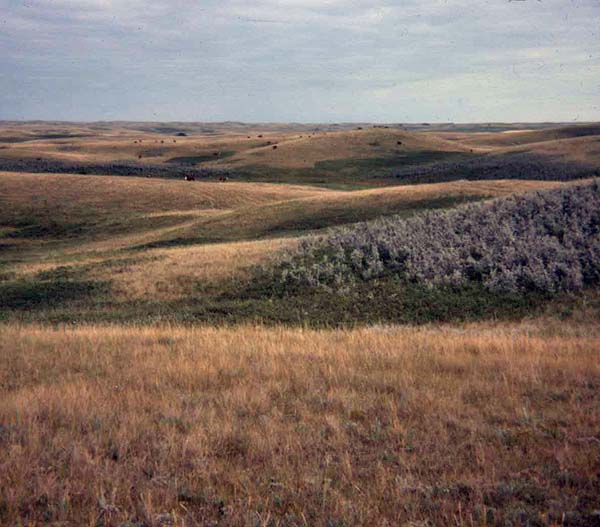
Known as the Missouri Coteau, this range of
hills runs from southeast to northwest and forms
a backdrop for Caron. 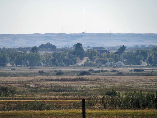 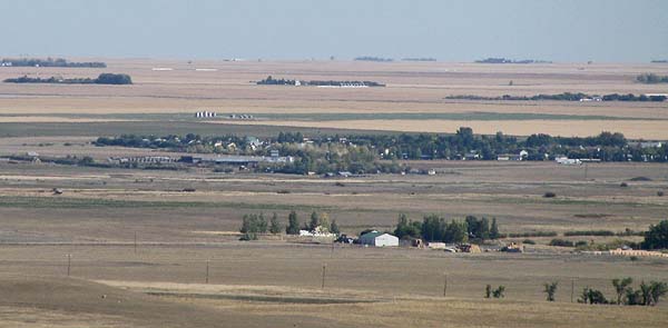 Up on the Coteau the ranchers grazed their cattle on the rolling morain hills and grew feed in the dried-out glacial pot lakes they called sloughs.
Once Caron was a bustling
community with several grain elevators, hotels,
stores and businesses that served the
agricultural community. Today it is
dwarfed by its neighbour Caronport and the
traffic zipping by on Number 1 Highway could
blink and fail to see the little collection of
houses located on a slight upgrade beyond the
railway tracks. However, as the sign above
says, Caron is once again growing.  To take a tour of Caron choose the appropriate links on the left. 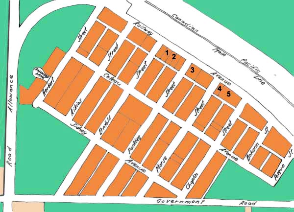 1. Community Hall - 2. Community Church - 3. Caron Post Office 4. Caron Branch of the Royal Canadian Legion - 5. Caron RM Office |