Summit
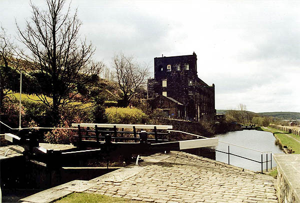
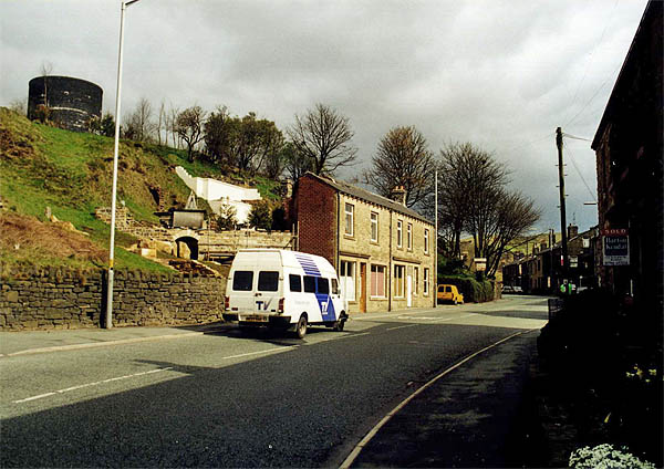
 The village of Summit is, as its name implies, located at the head of the Roch River valley. It is the last community of any size within the border of the Municipal Borough of Rochdale at this extreme north-east corner. North of Littleborough the valley becomes narrower and steep-sided; road, rail and canal routes squeeze through this narrow gap to reach the Calder Valley beyond. 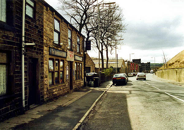 It is
at this point that the Rochdale Canal crosses the 600
foot level in its Trans-Pennine journey
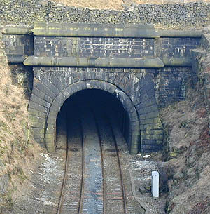
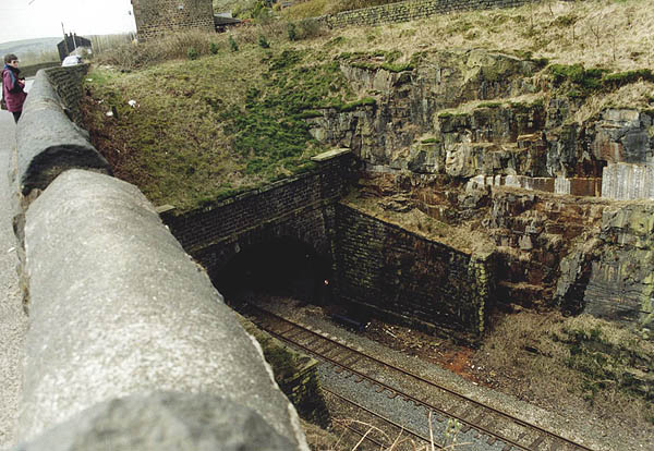
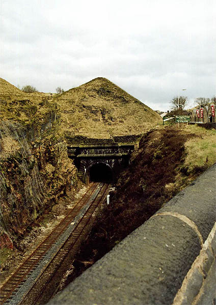
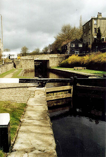  It is also at this
point that the Leeds to Manchester Railway plunges
into the hillside and through the Summit Tunnel.
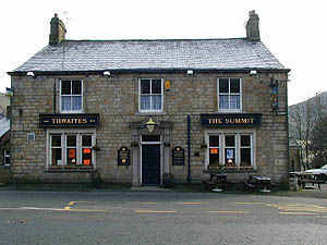
    To the east the foreboding Blackstone Edge dominates the landscape and all along the valley, high up on the moor are a series of reservoirs from the Blackstone Edge Reservoir in the south to the Warland Reservoir north of Warland. North-east of Summit across the valley lies Chelburn and it is here that clay was excavated from the valley side to produce bricks for the Summit Tunnel lining. Further north, where the A58 reaches approximately1300ft above sea level, stands The White House pub on the Lancashire - Yorkshire border. 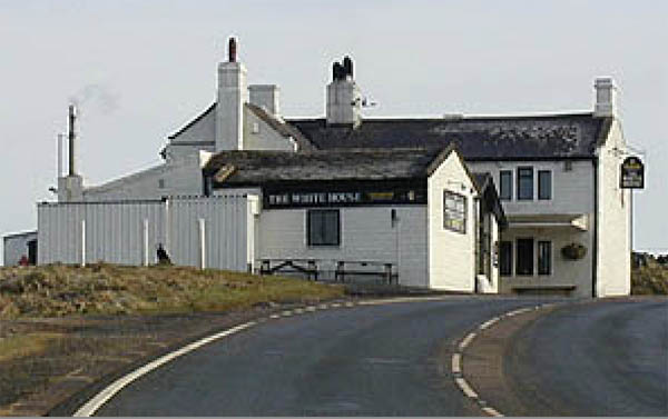
|
Close Window