Greater Manchester's Waterways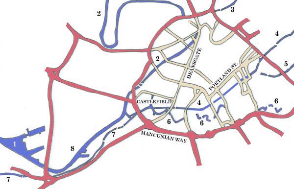
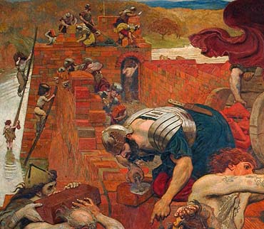
The Roman settlement of
Mamuciam was built on the banks of the River Irwell in
an area known today as Castlefield.
 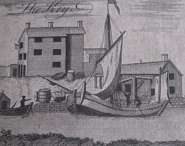 Two rivers join the Irwell in the vicinity of the growing city centre: the Irk, in close proximity to the original manor house and church, and the Medlock, which meandered around the southern and eastern boundary before joining the Irwell close to the location of Roman Manuciam. The Industrial
Revolution shaped this city and the transportation of
raw materials and manufactured products in and out of
the city was crucial to its success. First the
Duke of Bridgewater built the canal, named after him,
to bring coal to the city centre. Then the
Ashton and Rochdale Canals linked the city to
important centers to the north and east.
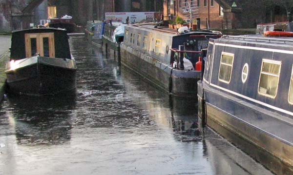 Within the city centre mills, factories and warehouses were served by a complex network of surface and underground canals. Without doubt though, the most important waterway was the Manchester Ship Canal which allowed ocean going ships to navigate into the docks that were built in Salford and Old Trafford. Not only did the canal assist in the efficient importing and exporting of goods it also stimulated the growth of industry in Trafford Park beside the docks. Before, and for a time after the arrival of the railway, waterways had an important affect on the location and develoment of Manchester. Today, the heavily polluted rivers have been rehabilitated, the canals have long since ceased to trade commercially and Manchester's waterways have a role that is more recreational than commercial. However, they still make a contribution to the personality of this important northern city. 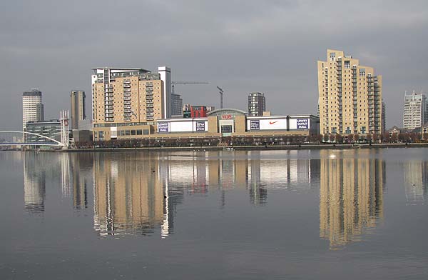 |