"Where is Manchester?"
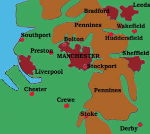
The city of Manchester is located 190 miles north west of the English capital, London. The city lies some 30 miles in land but, when this location became a serious impediment to trade, a canal capable of accommodating ocean-going ships was constructed. The Manchester Ship Canal opened in 1894 and for much of the 20th Century Manchester was an important "sea-port"


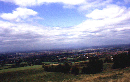
When I lived in Manchester in the 1950s the primary source of heat and power generation was coal from the nearby coal fields of Lancashire and Yorkshire. The Pennine hills which rose above the city were invisible to us and a good bus ride away. Sitting up on the hills in Lyme Park, Manchester was located as a cloud of smoke in the distance.
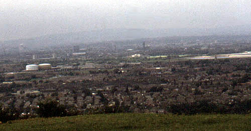
When I returned to the city in the 70s and 80s the effect of the "Clean Air Act" was clearly evident. Now you could stand on St. Mary's Gate in the heart of the city and see the Pennines beyond the Cathedral. Similarly you could stand on Werneth Low outside of Romiley and survey the urban scene below from Stockport to your left, through the city centre and beyond to the Audenshaw reservoirs, Hyde and Hattersley on your right.
