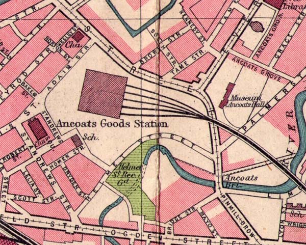
Ancoats
Goods Station
The map above is shown with the permission of Eric Rowland of Artus Genealogy Resources
The map above is shown with the permission of Eric Rowland of Artus Genealogy Resources
The Ancoats Goods
Station was located on a site bounded by Great Ancoats
Street, Adair Street, St. Andrew's Square and Helmet
Street. The railway lines accessed the site by
way of a viaduct that spanned Great Ancoats
Street. It served the Manchester - Derby and
Central Midlands routes, down to and including the
North London area. The station handled general
goods traffic and delivered fruit and vegetables to
Smithfield Market.
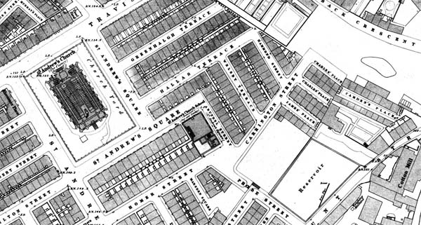
St Andrew's church
sat next to the station. Before the station
was constructed in the 1860s, St Andrew's had been
the centre of a densly populated community of
terraced housing.
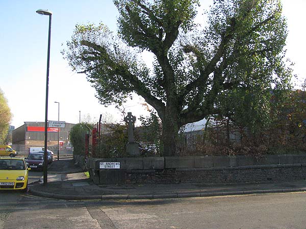
Today the
church has gone, although the boundary wall is
still visible and a cross still stands in a
corner of the church yard.
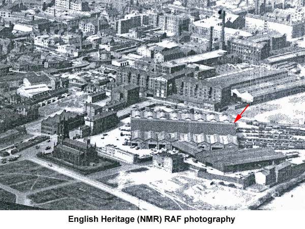
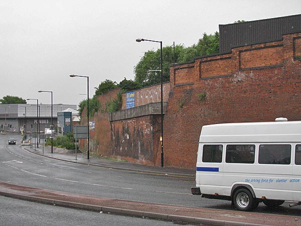
The station is gone and a Parcel Force warehouse stands in its place.


A remnant of the viaduct that crossed Great Ancoats Street is still visible, see below.
The station is gone and a Parcel Force warehouse stands in its place.
A remnant of the viaduct that crossed Great Ancoats Street is still visible, see below.