- Kirkmanshulme Lane to Stanley Grove -

Above an aerial view of the area circa 1945
Below is a sketch map based on the 1883 Ordnance Survey Map

Below is a list of the occupants in the buildings along this section of Stockport Road in 1895.
The information is shown here with the consent of the Historical Directories website
- West
Side - |
- East
Side - |
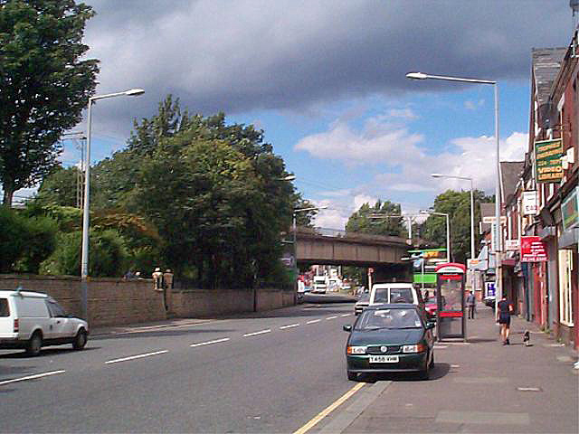
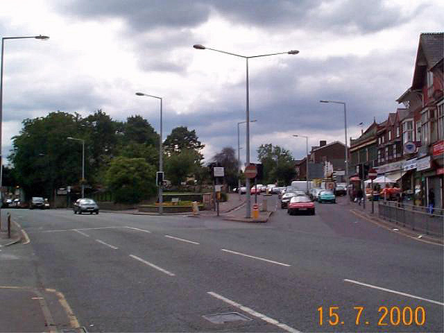
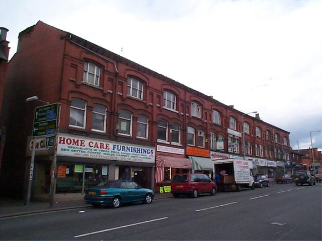
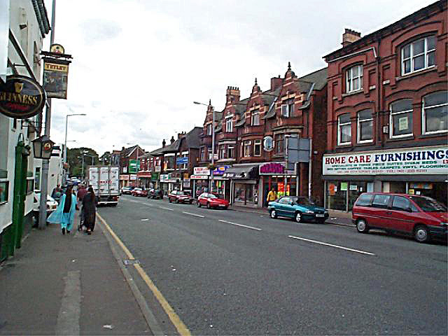
Below is that section of Stockport Road in the late 1960s

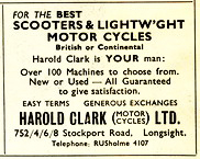
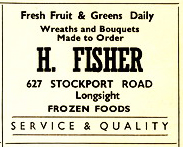
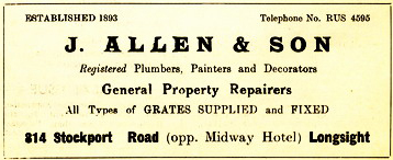
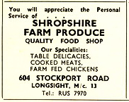
The adverts below were generously contributed by Bill Bullock and Les Cotton
Note that some of the business in the ads do not appear on the map because they pre-date the information used to create the map.
While all of the businesses are on Stockport Road, some of them are actually close to or actually in Levenshulme.