|
In the 19th century, the
town of Rochdale was the centre of the Parish of
Rochdale, which was made up of five townships: Spotland,
Wuerdle and Wardle, Blatchinworth and Calderbrook,
Castleton and Butterworth. 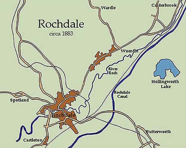 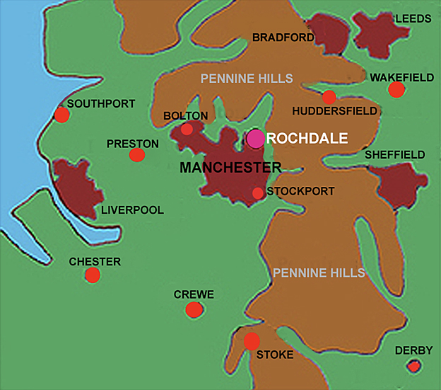 The towns and villages, which have
merged into the "community" known as Greater
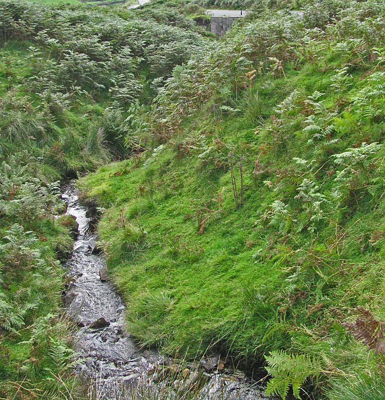
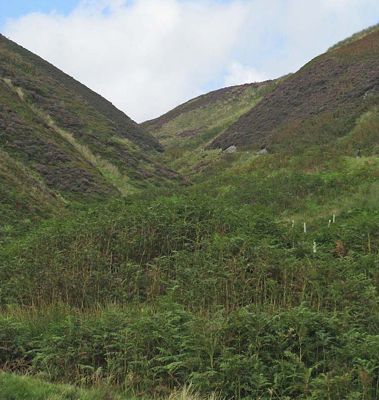
Manchester, were settled at an important location. The
rugged and remote Pennine hills, sweeping southwards
from the Scottish border, form a cove-like indentation
at this point and major rivers pour down from deep
valleys before meandering across the Cheshire Plain on
their way to the Irish Sea.
 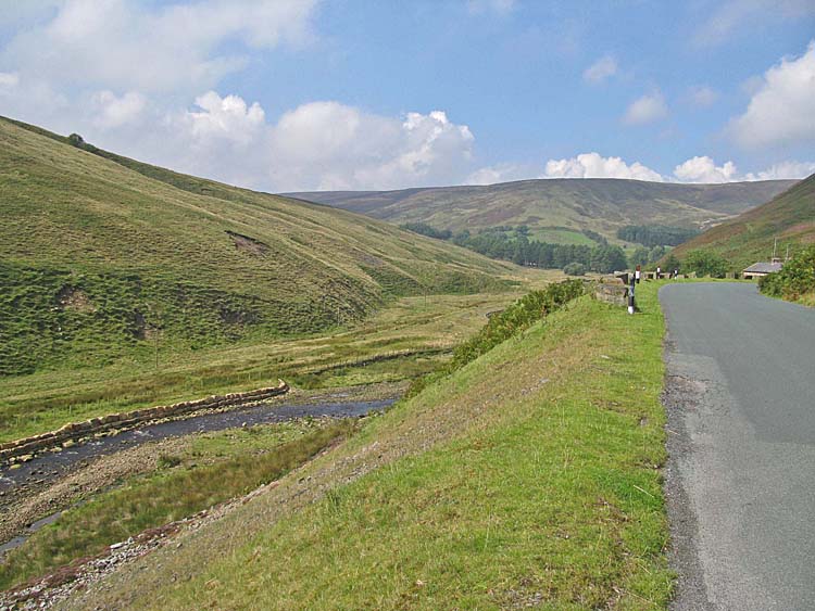   Tucked tightly within this "cove"
is Greater Manchester, with its eastern and northern
borders hard up against the surrounding moorland.
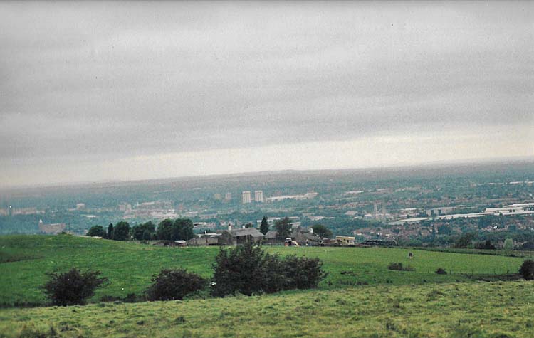 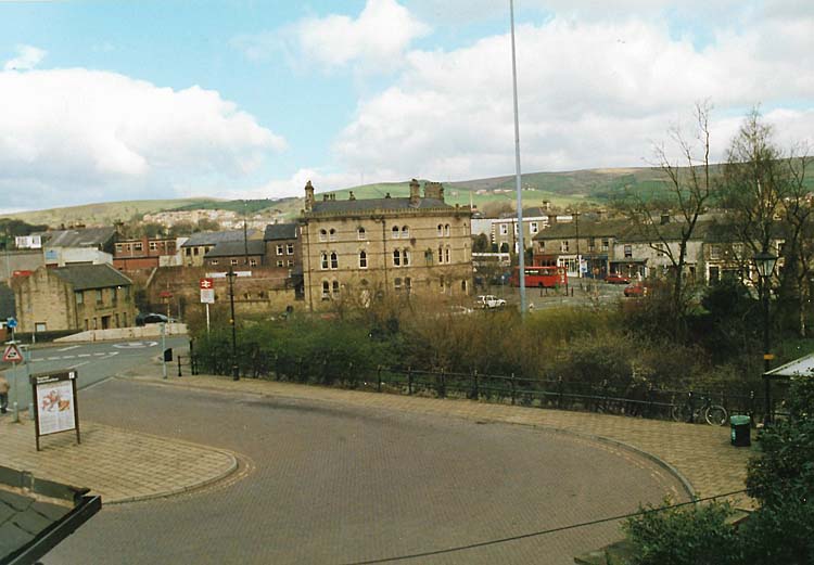  Rochdale occupies the
north-eastern corner where the land rises towards
the moors, close to the border with Yorkshire.
 Today the town of Rochdale is the centre of one of four townships that make up the Borough of Rochdale. 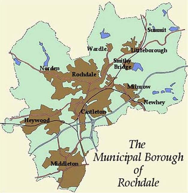 200,000 people live within the
borough in and around the towns of Rochdale,
Middleton, Heywood, Littleborough, Milnrow, Newhey and
Wardle. Occupying the top right-hand corner of the
Manchester conurbation, the Borough of Rochdale is the
largest of the 10 metropolitan boroughs making up
Greater Manchester and the one with the lowest
population density. Rochdale's 200,000 residents are
spread over an area of 62 square miles.
|