|
The
Quay
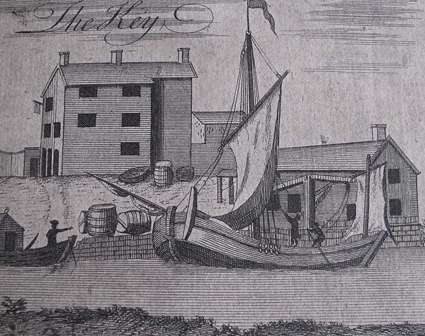
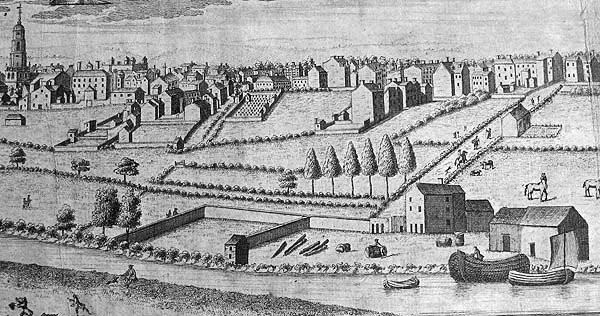 The River Irwell was
an important highway for commerce in the early years
of the city's development and initially it was
navigable as far as a quay at the bottom of what is
now Quay Street. You can see in the engravings
above and below, taken from the Casson map of the
mid 1700s, and shown here with the permission of
Chetham's Library, a collection of warehouses that
were built at this trans-shipment point.
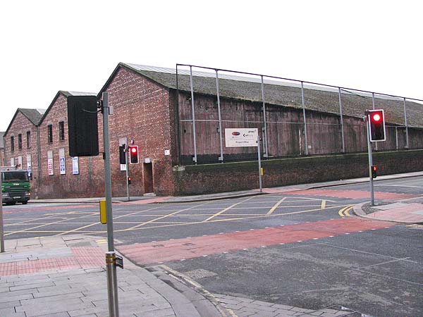
 Today a bridge
carries New Quay Street over the River Irwell at
this point and beside it stands what appears to be
deserted warehouses.
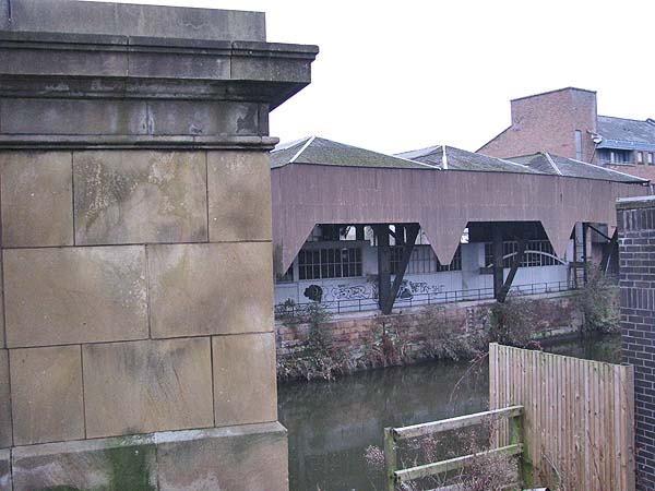
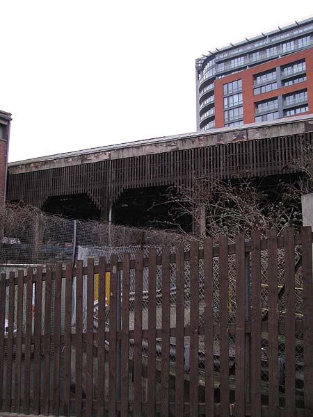
 Viewed from the
Salford side you can see how the warehouse roof
extends out over the river suggesting a kind of
canopy used to facilitate the unloading of goods
being hauled up into the warehouse or down into
boats.
 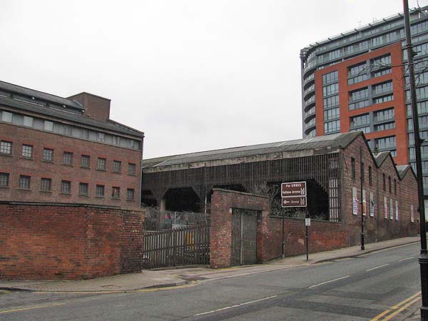  An RAF aerial
photograph from 1953, shown here with the permission
of English Heritage, shows the building (marked with
a red dot) between the New Quay Street Bridge (a)
and the warehouse complex that is the Marriott Hotel
(b) today. You will also note that along the
Irwell there were other warehouses reaching out over
the river.
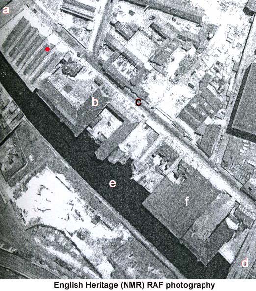 Today a car park
occupies the site of the warehouse marked with
an "f" above. In the car park are two iron
columns which may be remnants of that building.
 |