 A Very Brief History of Manchester This very
brief history of Manchester is included here to help
people who don't know Manchester to understanding
something of its history. I have made every
effort to make sure that everything on this page and
throughout the site is both interesting and accurate
but I make no claim that it is a comprehensive
history. On this page I have tried to give
readers an overview of the story of Manchester from
its earliest days to the present. To do justice
to this over the centuries would take a lot more than
this page offers but, if this page piques your
interest, I hope you will look further into the
website for a more complete story.
As a child I was taken by my Dad
to a coal yard in Castlefield beneath the railway
viaducts carrying the rail line out of Central
Station. This was long before this area of canals,
railway lines, warehouses and commercial buildings
became the trendy community of condominiums, museums
and restaurants it is today
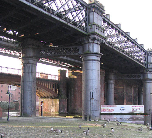 We wandered in unannounced and univited so he could show me a piece of stone wall among the brickwalls and coal heaps. This he told me was all that was left of the Roman fort that gave the area its name. 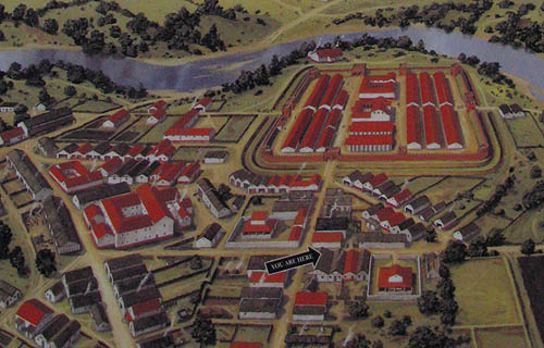
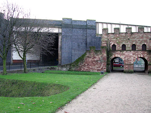
The fort sat at a major junction in Roman Britain where the east - west route from York to Chester intersected with the north-south route from Ribchester to Hadrian's Wall. Below are the foundations of the buildings indicated in the image above.  If you
go to the site today you can see a very new looking
reconstruction of one of the stone gateways of the
fort which was built in the 3rd century to replace two
earlier turf and wood forts dating back to 79AD. The
1.6 hectare fort known as Mancunio or Mamucium gave
the city its name. The Roman word "castrum" meaning
fort became "chester" and English cities and towns
with chester as part of their name were Roman military
settlements, hence "Man - chester". In the Anglo-Saxon
Chronicle it was Mameceaster and in the Domesday Book,
Mamecestre.
 The Romans left in 140 AD and
the area was overun by Anglian and Danish
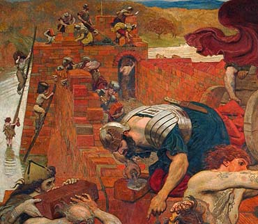
invaders. Prior to the Norman Conquest the area which is now Manchester and the Lancashire Plain was occupied by the Mercian Angles. The Domesday Book records that in 1086 Manchester had a Parish Church. It is believed that it was located at the corner of St Mary's Gate and Exchange Street. In 1215 Lord of the Manor, Robert Greslet, built a church next to his manor house on a sandstone promentary between the Rivers Irwell and Irk and surrounded by a ditch known as the Hanging Ditch
In 1398
Thomas de la Warre became the Baron of the Manor of
Manchester. In 1421 the church became a Collegiate
Foundation dedicated to St Mary, St Denys and St
George. On his death in 1426 Thomas de la Warre
left £3,000 to be used on the buildings of his
collegiate foundation. Most of this was spent on
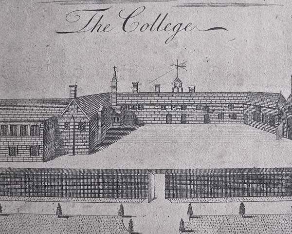
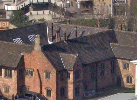
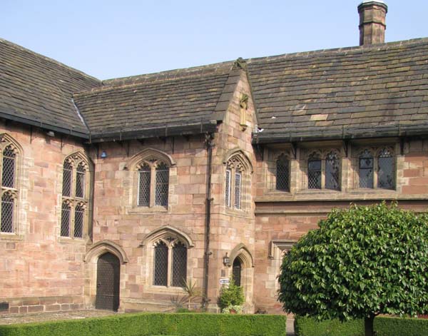
converting the Baron's Hall into the
house-of-residence for the College Priests or Fellows. 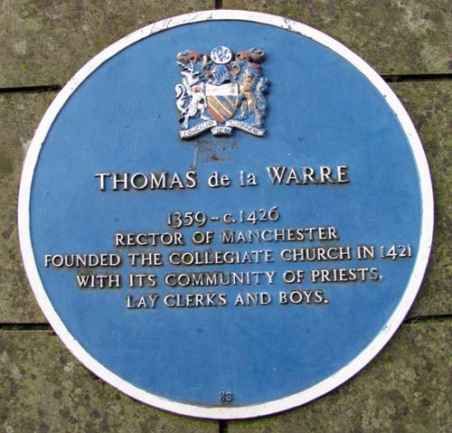 Remanants
of that Manor House can be seen today in Chetham's
School and Library.
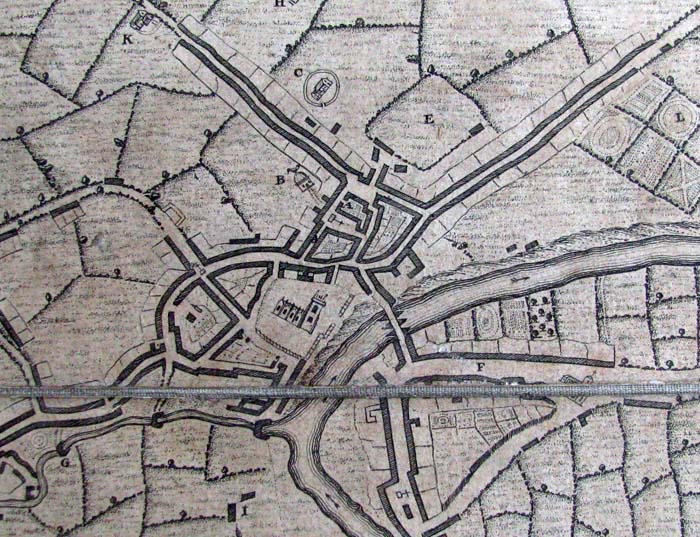
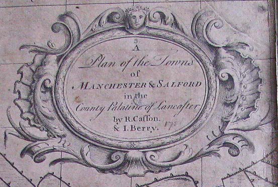
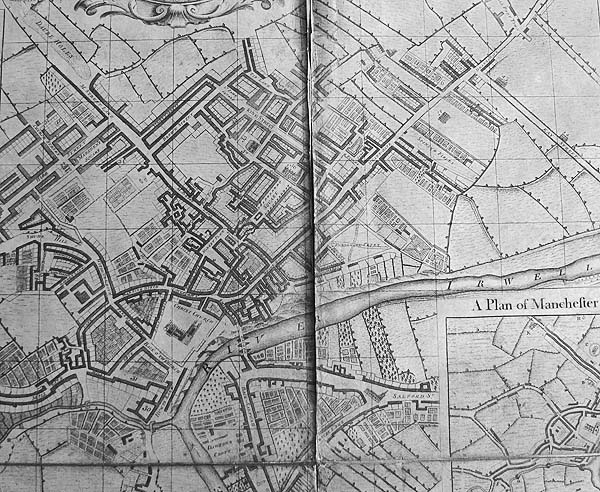
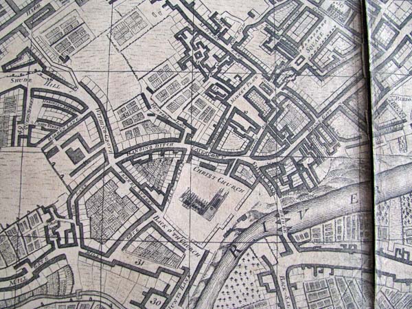
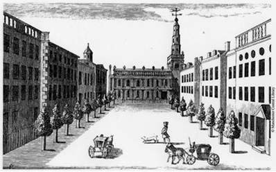
The map
above is an inset on the Casson & Berry Map of
Manchester & Salford A bridge
across Hanging Ditch provided access to the church. 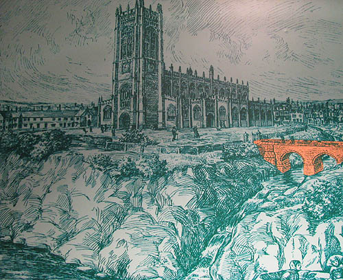 A portion of that bridge can be seen in the cafe of the Cathedral Visitor's Centre 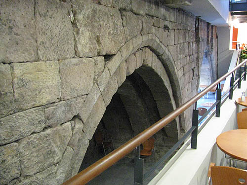 ************************ By 1751 Casson & Berry are
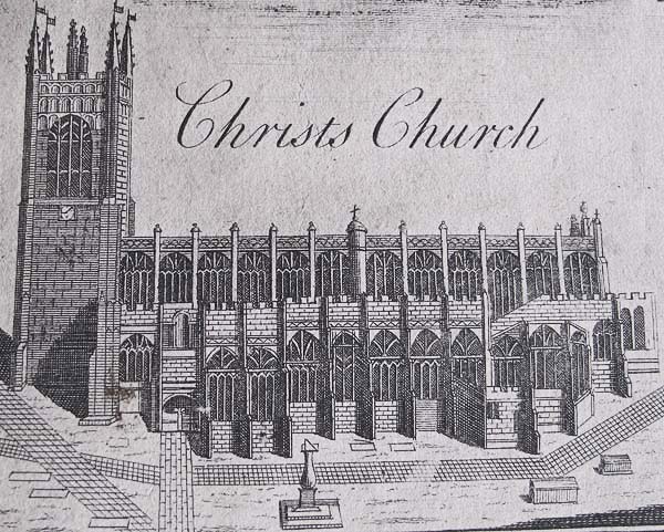
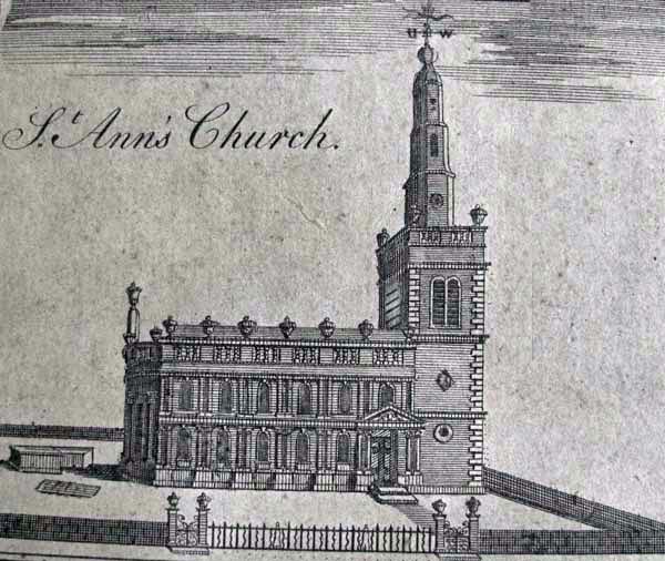
showing a much larger Manchester. 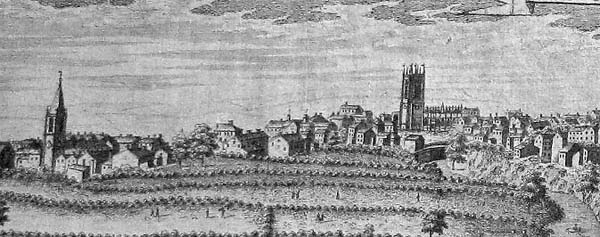 Christ Church, later to become the
Cathedral, dominates the community in the east and
towards the west St. Anns with its spire, later
removed, stands prominently on a now built up Acres
Field. Quay Street, or Key Street as it is
shown on the map, runs down to a quay on the Irwell.
Here is their Manchester of 1751
In
"Picturesque England" by L. Valentine and published by
Frederick Warne and Co. it says of Manchester at this
time, "Manchestre was the fairest, best built,
quietest, and most populous town in Lancashire."
Certainly we know that it was a picturesque town in
the reign of Elizabeth, having in it many fine old
halls, most of them of wood and plaster, fronted in
black and white, "magpie," as it was called.
Manchester is known as one of the world's great
industrial cities and a leader in trade and
commerce. It was indeed the home of the
Industrial Revolution. In the early part of the
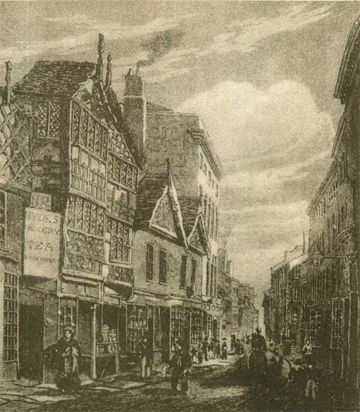
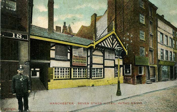
18th Century the area of Manchester that today is
referred to as The Northern Quarter was already
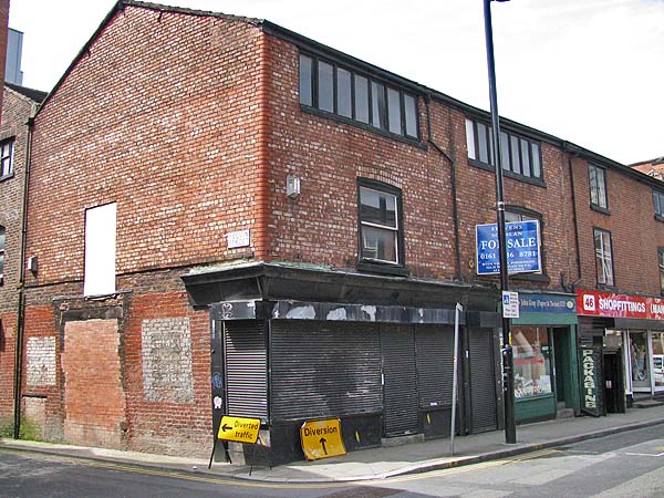
involved in industrial production and remnants of that
activity can be found today in the form of weaver's
cottages. Here are some that were demolished:
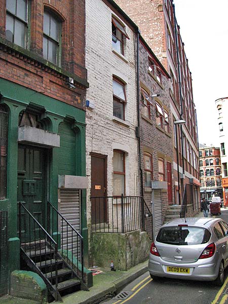
and here are some that
have survived and are being renovated and given new
functions.
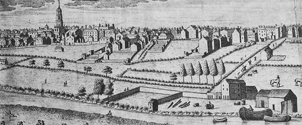
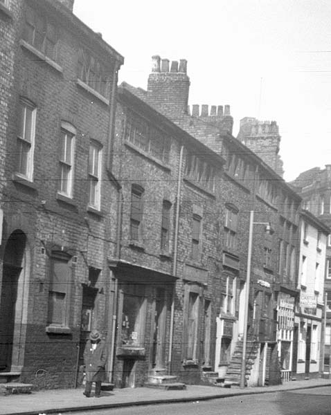
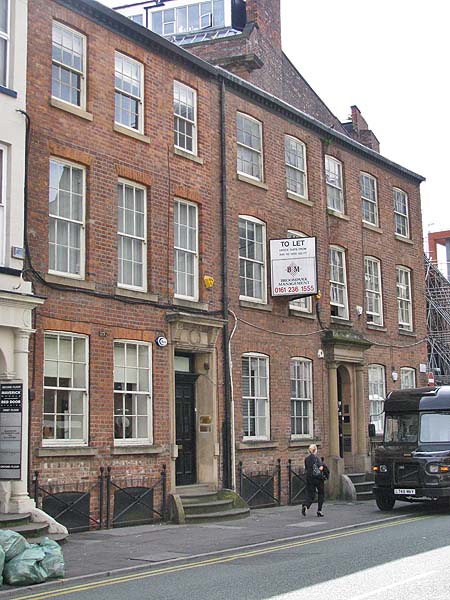
At the
same time the wealthier members of the business
community were building town houses close to the city
centre like these on Lever Street.
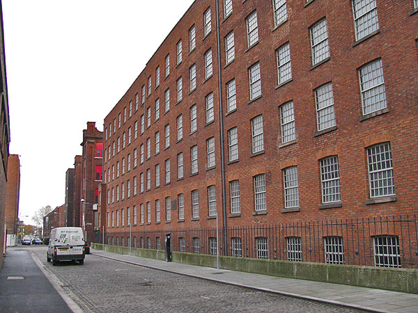
It was of
course mechanization which brought the huge boom in
industrial activity and it was the textile industry
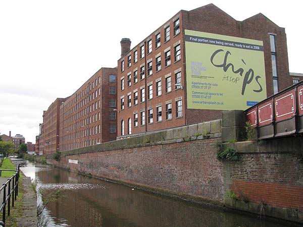
that changed the face of the city. In Ancoats
huge mills were built to produce textiles and within
the city centre the merchants built impressive packing
and shipping warehouses.
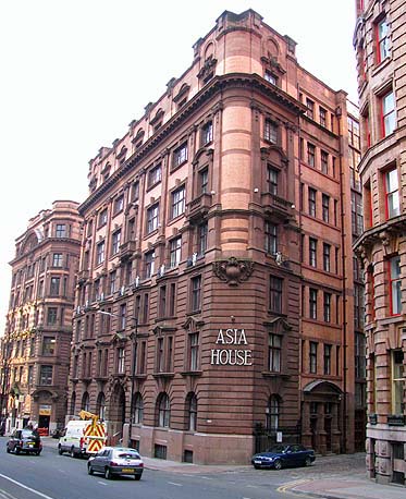
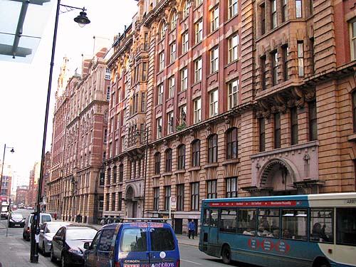
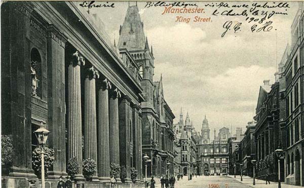
Trading
exchanges and banks were built in the area around King
Street as well as clubs to offer recreation and
intellectual stimulation mostly to the wealthy.
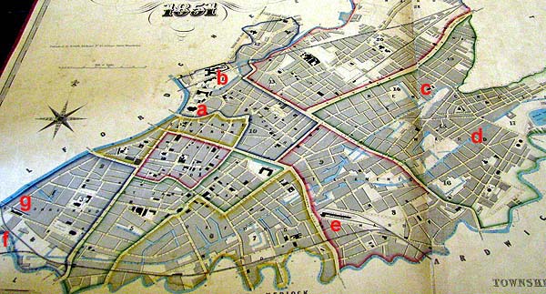
Here is a
view of the city in 1851 in the form of the Adshead
map, shown here with the permission of Chetham's
Library.
The map
shows the Cathedral at "a" where Manchester
began. By 1851 the Rochdale "c", Ashton "d' and
Bridgewater "f" canals were in place. The
railway had arrived and Victoria "b", London Road "e"
and Liverpool Road "g" stations can be seen. In terms
of transportation routes though nothing was quite so
dramatic in its affect on the city as the
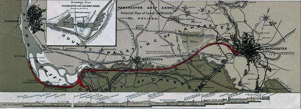
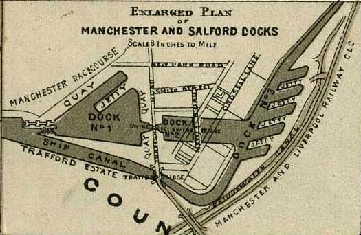
Manchester Ship Canal which turned this land-locked
city into a seaport. Known affectionately as The
Big Ditch it runs for 36 miles and provides navigation
for ocean going ships into the edge of the city
centre. It cost £15 Million and took 7 years to
build opening in 1894. At the Manchester end an
extensive system of wharves was lined with warehouses
and the area became the focus for further industrial
and commercial development. The Trafford Docks
were surrounded by Trafford Park, an industrial
complex.
Manchester became a
city of chimneys, both industrial and
residential. The city was overcrowded and
characterized by polluted air and water and unsanitary
living conditions. The wealthy merchants moved
further out to suburbs like Victoria Park leaving
their workers in streets of terraced houses jammed
close together in the shadow of the mills and
factories.
************************
By the time I came
to know the city in the period after WWII it was
still an industrial city with light and heavy
manufacturing and trading on the world market
through the Ship Canal. The predominant form
of fuel was still coal and a haze covered the city
even on good days. Most of the grand
buildings in the city centre were black with soot.
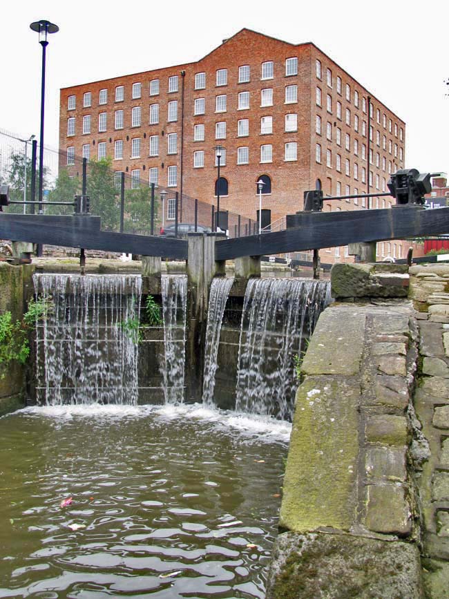
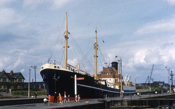
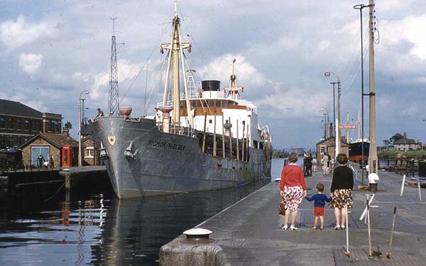
Manchester is now in a post-industrial phase compared to those days. The Ship Canal is still there but the docks have gone because the shipping now goes to huge container ports elsewhere. 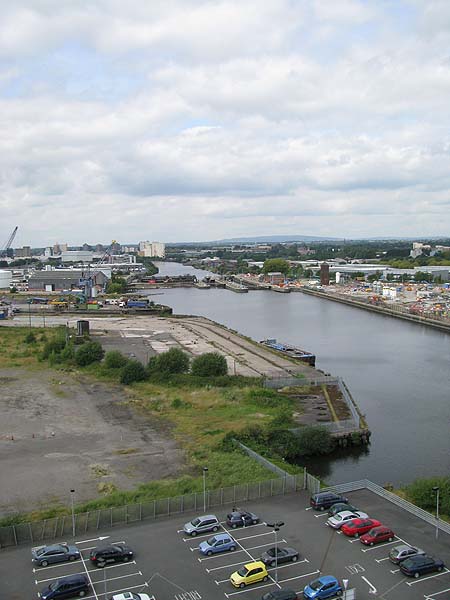 The warehouses and factories of Trafford Park have given way to waterside condominium and office blocks and The Imperial War Museum, The Lowry Arts Centre and the BBC's Media City are today's landmarks. 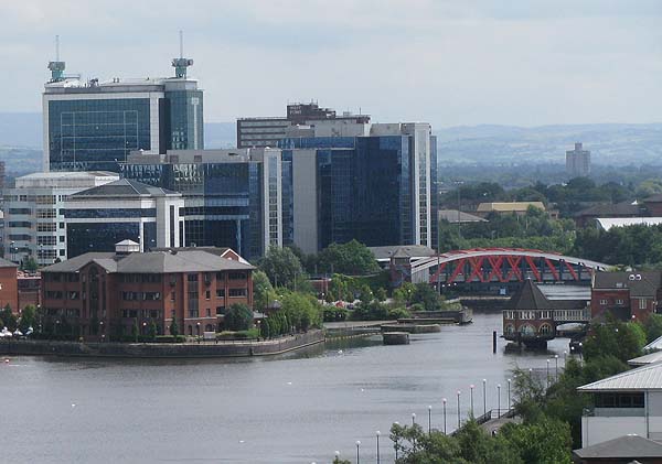 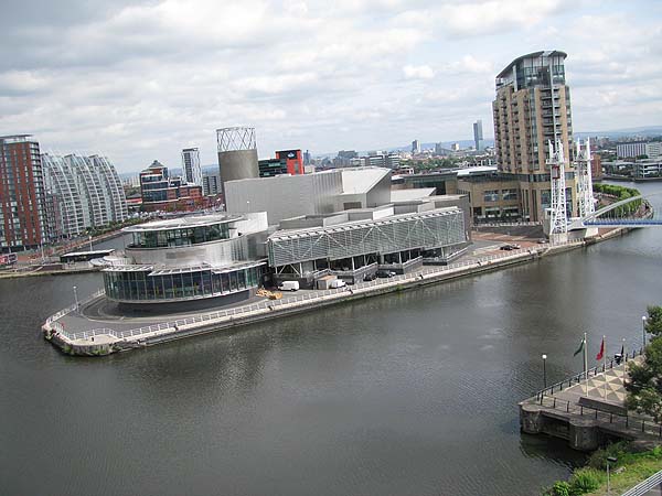 After the implementation of the Clean Air Act in 1956 the air did indeed clear over Manchester and for the first time in a long time you could see the surrounding Pennine Hills from the city centre and you could see the city from the top of the hills. 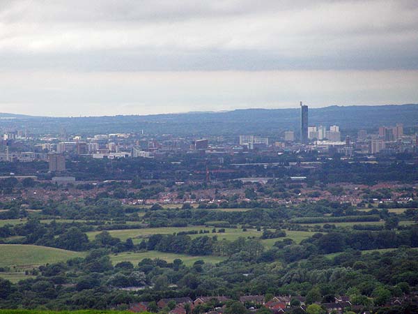 Prominent
buildings
were cleaned and I remember as a child being
shocked that they weren't actually black. Today's
Manchester is a thriving city with two important
universities, a new and extensive banking
district, the new BBC Media City and many of the
warehouses, mills and factories that once
provided employment have been converted into
living spaces for those who work in the cities
offices. It is home to two Premiership
football teams, the National Cycling Centre and
the British Track Cycling Team. The city
has a long history of excellence in the arts and
boasts a number of Art Galleries; the
Bridgewater Hall, home to the Hallé Orchestra;
The Opera House and the Palace offering live
entertainment and the production studios of the
BBC and Granada. Musically the city is
associated with important names from the
classics to pop including Sir John Barbarolli,
Charles Hallé as well as The Smiths, Joy
Division and many more. Among the
scientists, engineers and inventors the city can
boast of Richard Arkwright, John Dalton, Ernest
Rutherford, Alcock & Brown, James Joule and
it was here that Rolls met Royce. Anthony
Burgess was a Manchester man and among the long
list of actors are Sir Ben Kingsley, Sir Ian
McKellan, Pete Postlethwaite, Victoria and the
wonderful Maxine Peake.   Ancoats,
the home of the Industrial Revolution is being
transformed into a new community with old
industrial buildings being renovated and
redeployed and state-of-the-art and cutting-edge
buildings going up on brownfield land.  The
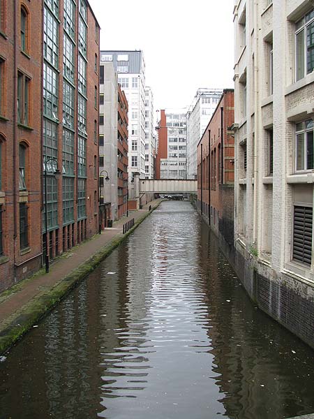
old canals have been rejuvinated and an ever
expanding Metrolink tram system is connecting
together railway stations, sporting and
recreational venues and outlying
communities. The city features 2 mainline
railway stations and an international airport. 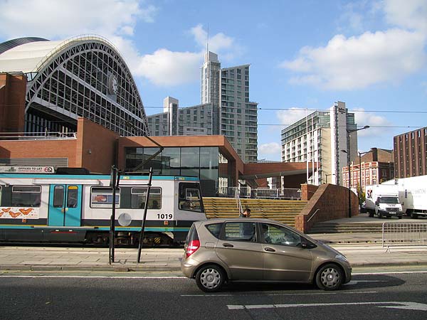 In 2008 the City of Manchester covered an area of 11,565 hectares and stood at the heart of a Greater Manchester that covers 127,608 hectares. The estimated population of Manchester in 2007 was 422,915. The estimated population within 30 mils of the Manchester City Centre was 11,291,216. Compare that to the population in 1757 which was 17,101. |