The Salford
& Manchester Docks
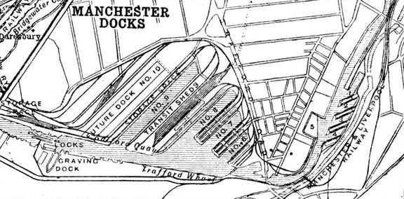
Map provided by The Probert Encyclopaedia
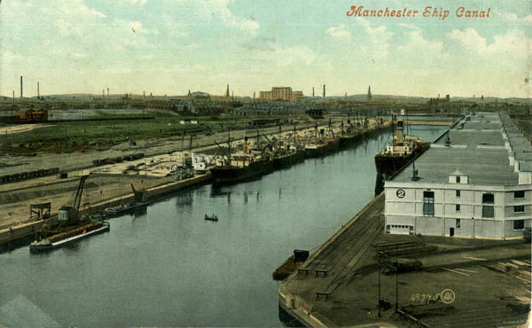
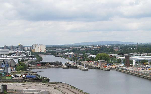
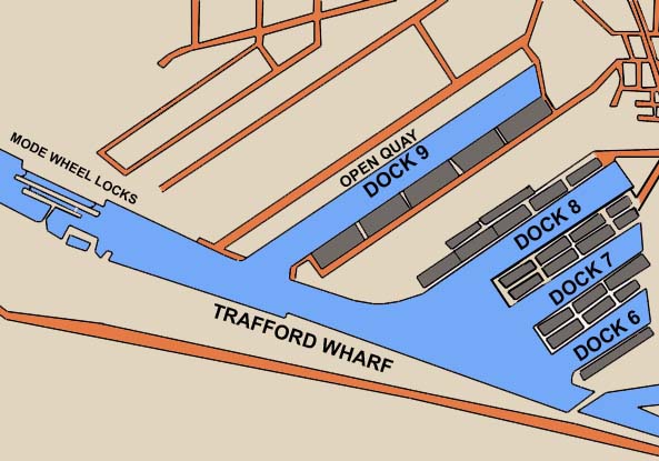
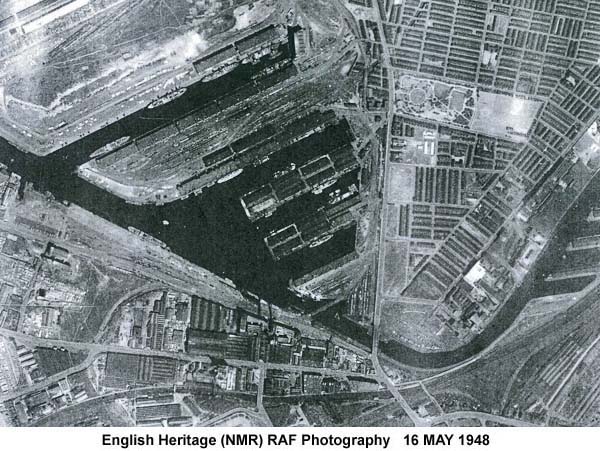
On the Salford side of the canal, above the final lock at Mode Wheel, lay four of these docks, numbered 9 to 6, and on the Trafford side there was a long wharf.
******************
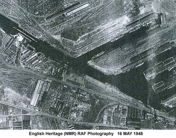
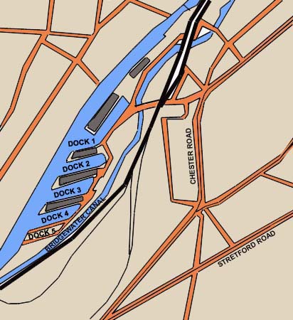
Interestingly Dock 5 is shown on the Salford side of the canal in the map at the top of the page.
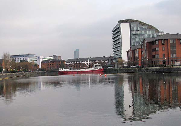
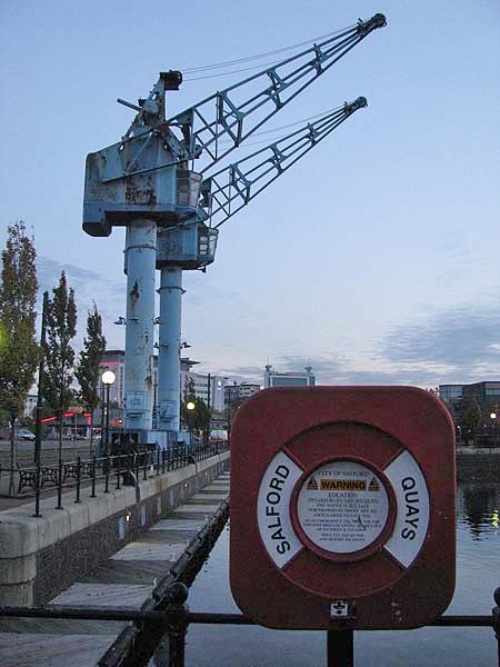
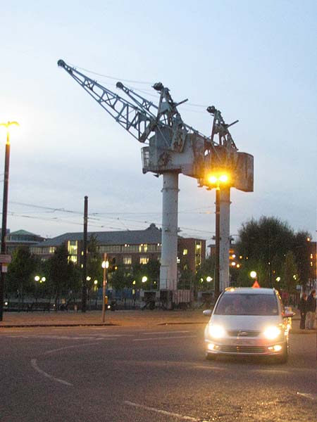
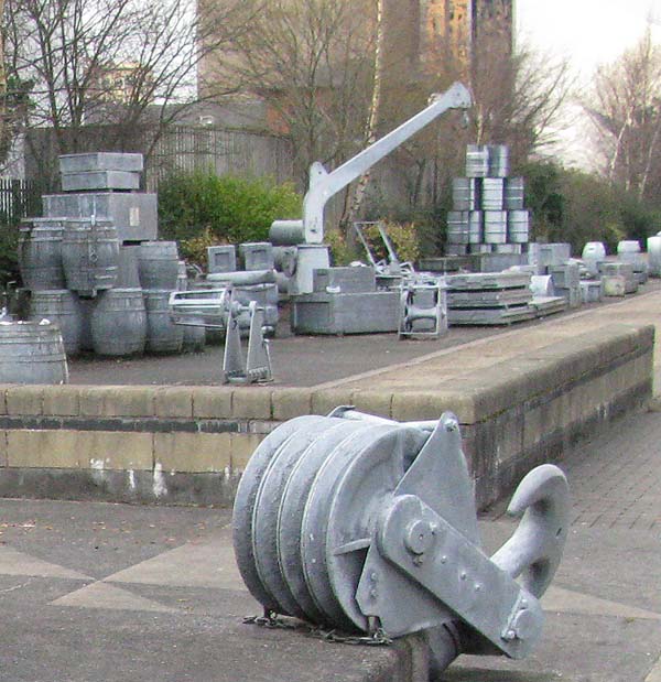
Among the relics of the former docks are these cranes.
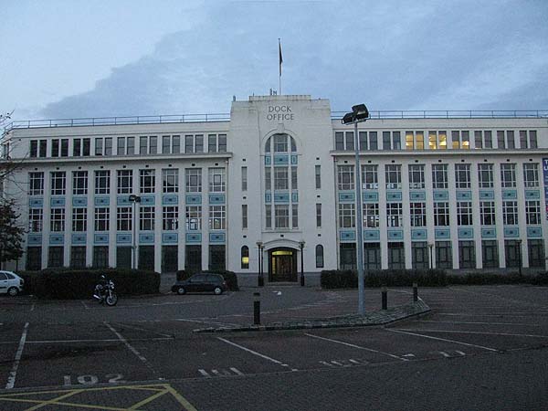
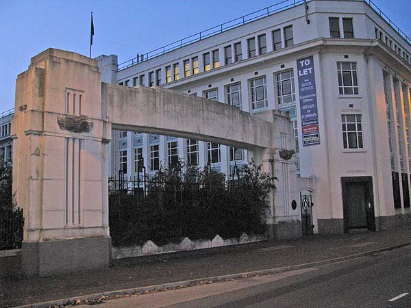
.... and The Dock Office.
The former entrance gateway is still there as well, although it is permanently closed now.
Homages to the docks are represented by two pieces of art work:
Skyhooks
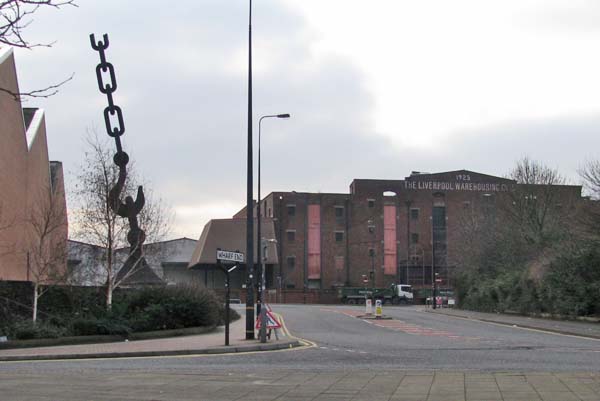
Silent Cargo
******************
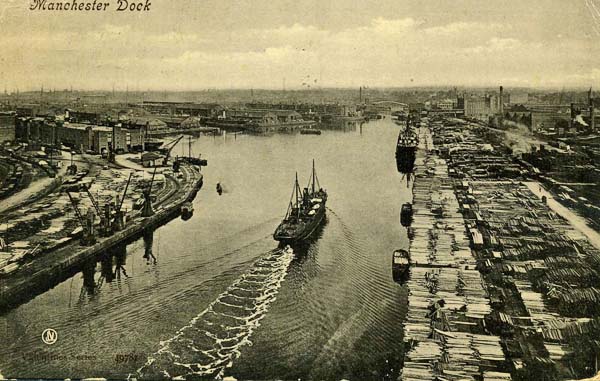
The Manchester Ship
Canal Company was set up in 1882 with the intention of
building a canal capable of accommodating ocean going
ships from the estuary of the River Mersey to
Manchester. The canal would make it possible for
goods to move in and out of Manchester efficiently and
it was expected that it would be a significant stimulus
to industry and commerce in the city. Planning the
canal and building it proved to be two entirely
different things. A series of roadblocks delayed
construction and it wasn't completed for another twelve
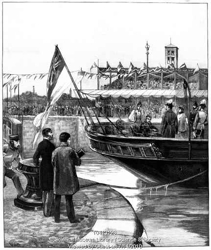
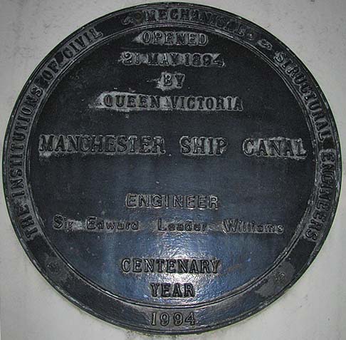
years. Queen Victoria opened the canal at the Mode
Wheel Locks on May 21, 1894 by pulling a cord from her
seat in the stern of the royal yacht 'Enchantress' (see
below in the image shown with the permission of the Science & Society Picture Library
website. The image is copyright Science
Museum Library, London).


At the eastern end
of the Manchester Ship Canal a complex of 9 docks
was built on the Salford and Manchester sides of the
canal.


Map provided by The Probert Encyclopaedia

On the Salford side of the canal, above the final lock at Mode Wheel, lay four of these docks, numbered 9 to 6, and on the Trafford side there was a long wharf.

******************

Above: The Mode
Wheel Locks


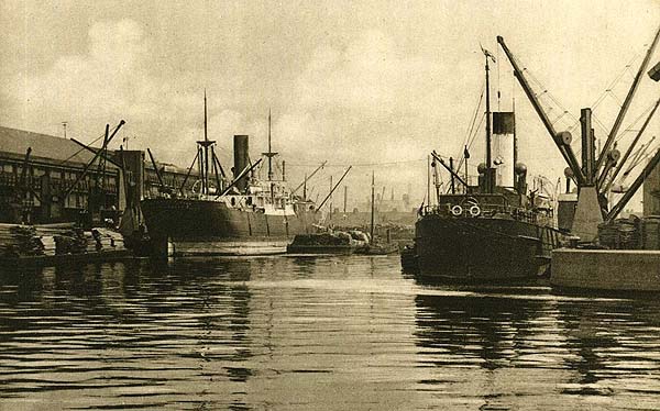
These docks formed a key
part of the Port of Manchester from 1894, until it
closed in 1982. The docks were a destination for
both coastal and ocean-bound ships. Their cargos
came from around the world but, as the names of the
various quays illustrate, a lot of the trade was with
Canada. In fact the ships plying back and forth
between Manchester and Canada also carried a limited
number of passengers.
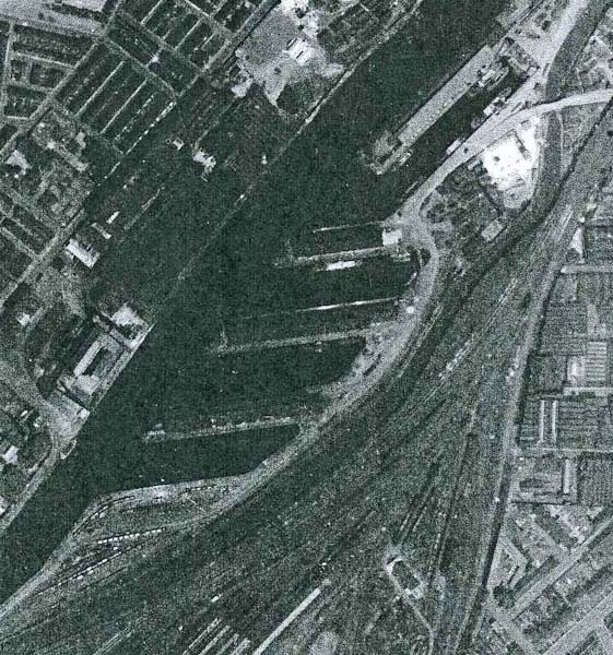
Further upstream, beyond the Trafford Road Swing Bridge
were the Pamona Docks.
Here Docks 5 to 1 were
to be found. Dock 5 at Pomona was never fully
completed. Only Dock 1 was actually within
Manchester.

Interestingly Dock 5 is shown on the Salford side of the canal in the map at the top of the page.

The introduction of
container shipping meant that the Salford / Manchester
Docks went into decline in the 1970s. The new
container ships could no longer navigate the ship canal
and this, combined with increased trading with Europe
and the east, saw trade decrease dramatically. In 1982
the remaining docks closed and the area became
derelict. Salford City Council recognized the
importance of the derelict docklands and purchased them
in 1984. A year later they adopted a development
plan which led to the Salford Quays that we see today.
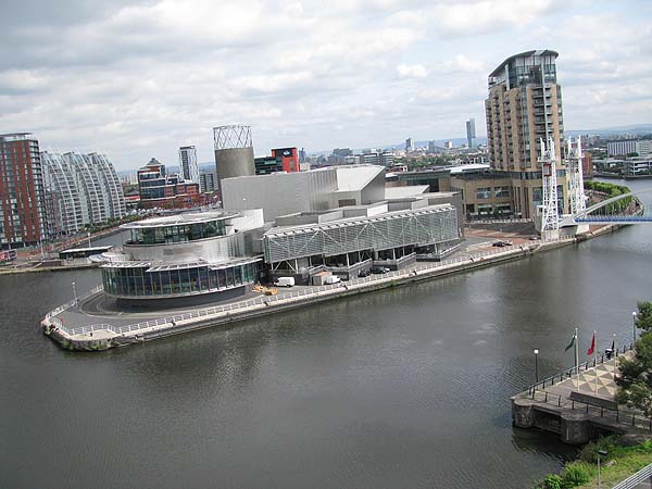
At the end of the quay between Docks 9 and 8, seen below, the Lowry Arts centre sits, looking like a ship ready to head out to sea.
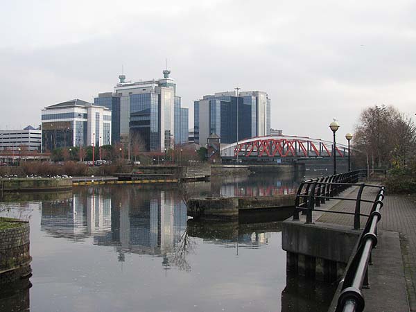
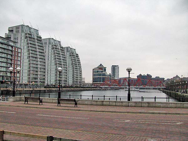
Dock 9 is now lined with residential apartments and office buildings. It has been closed off by a barrier that carries a road and crossed mid-way by the Detroit Bridge, a swing bridge that once carried trains across the canal. The water in Dock 9 has been cleaned and was the site of the swimming leg of the Salford Triathlon.
At the end of the quay between Docks 9 and 8, seen below, the Lowry Arts centre sits, looking like a ship ready to head out to sea.

Dock 9 is now lined with residential apartments and office buildings. It has been closed off by a barrier that carries a road and crossed mid-way by the Detroit Bridge, a swing bridge that once carried trains across the canal. The water in Dock 9 has been cleaned and was the site of the swimming leg of the Salford Triathlon.

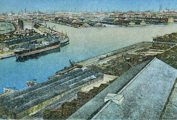
The entrance to Dock 8
has been narrowed and a lock controls access. Dock
7 has been cut off from the ship canal and divided into
a series of small basins. Dock 6 is essentially
intact, as you can see below, although once again the
warehouses and sheds have been replaced by residential
blocks and a hotel.

Among the relics of the former docks are these cranes.


.... and The Dock Office.

The former entrance gateway is still there as well, although it is permanently closed now.

Homages to the docks are represented by two pieces of art work:
Skyhooks

Silent Cargo

******************
Ironically, almost 20
years after the docks closed, there is a £120M plan to
create a new inland port at Barton, further down the
canal. The bid, by Peel Holdings, involves the
creation of Port Salford, a project that will provide a
distribution park served by rail, road and sea. It
will offer container ship berths, a rail terminal and
new road links. It will have the capacity to
handle two container ships simultaneously and handle
over 200,000 pallets of cargo at any one time.