| River Medlock The River Medlock rises
in the hills east of Oldham and meanders its way to
Manchester via Clayton Vale (see below).
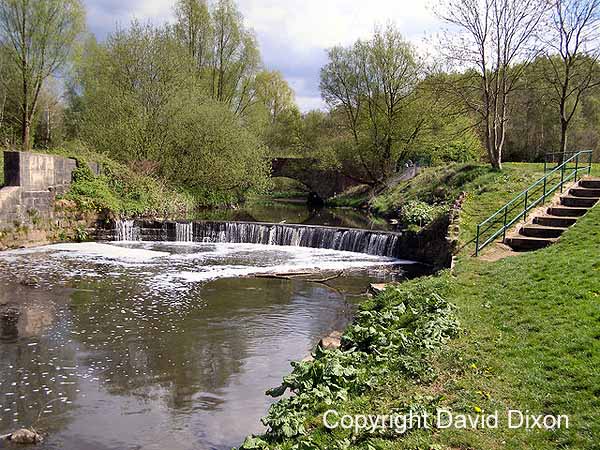 The image above is
shown here with the permission of David
Dixon
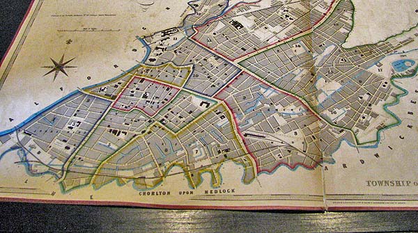
Here it is approaching Ashton New Road. 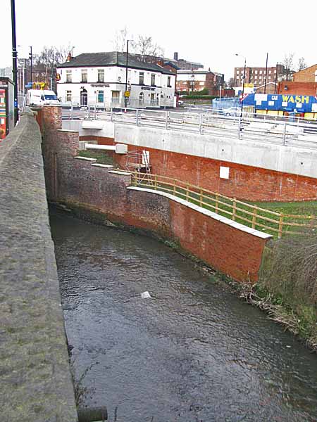 Then heading off towards the city centre having passed below Ashton New Road. 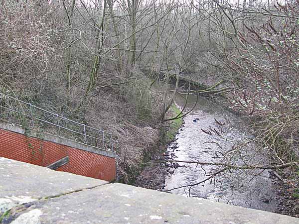 In the mid 1800s the
Medlock formed a border between the city of
Manchester and suburbs like Ardwick and Chorlton
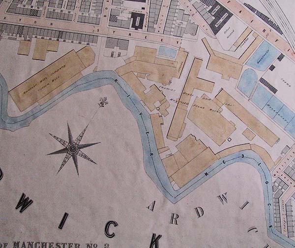
on Medlock. The Adshead map below (shown
here with the permission of Chetham's Library)
illustrates the point with the blue line of the
Medlock snaking around the south of the city.
 Here it is as seen from the air in the 1950s 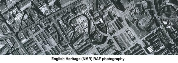 Despite the fact
that the river was always rather shallow it was
soon lined by factories and mills and the
pollution soon overwhelmed the river.
Below you can see it just east of London Road.
  As you can see the river had dye works, cotton mills and print works discharging effluence into it.  Over the
years large sections of the Medlock have
been culverted and only remnants of it
remain visible. Below you see a large
loop of the river behind the warehouses on
Whitworth Street.
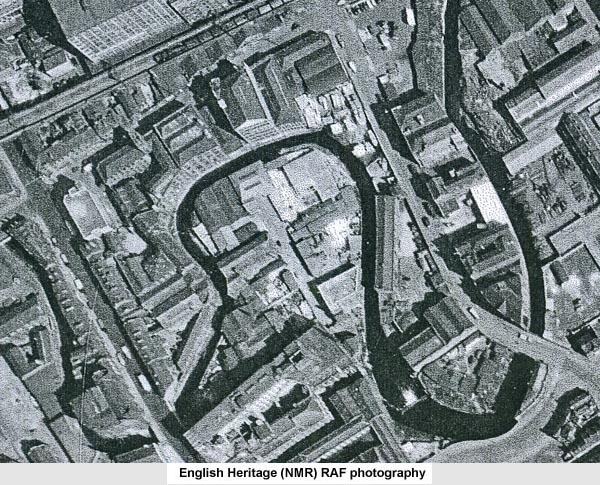
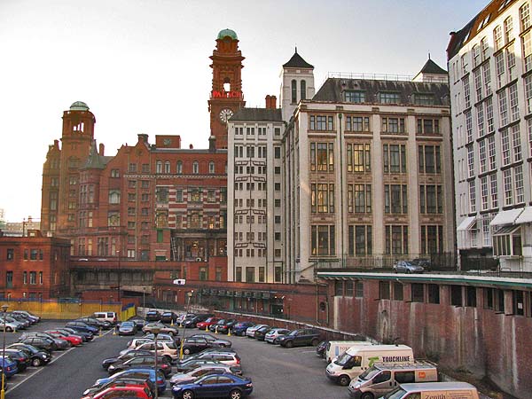 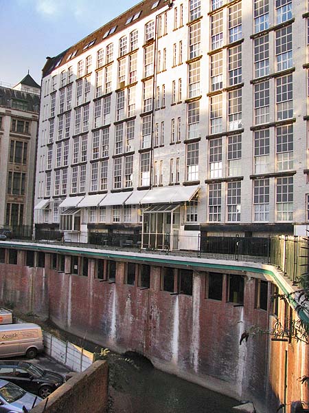 Below you can see the
railway viaduct which carries the track from
Piccadilly Station to Oxford Road Station.
The Medlock below is approaching Oxford Road.
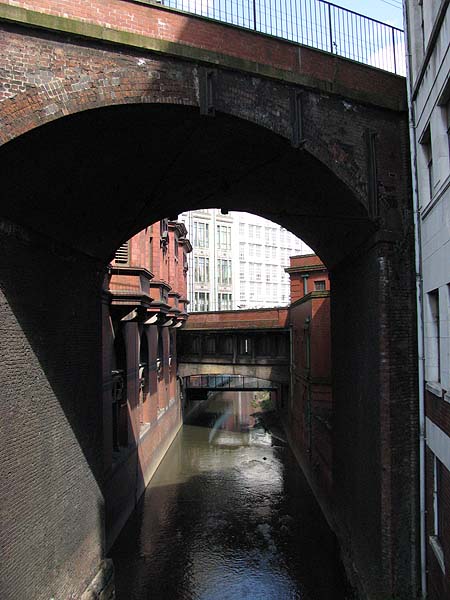 Across Oxford Road
the river flows off into the area that was once
known as Little Ireland.
 Below is the same
view captured in 2010 while the new Holiday Inn
Hotel was under construction.
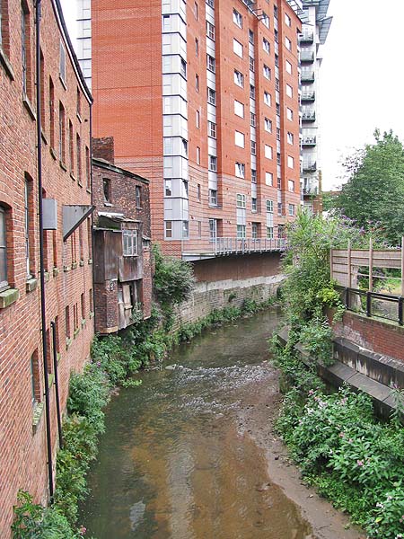
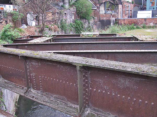
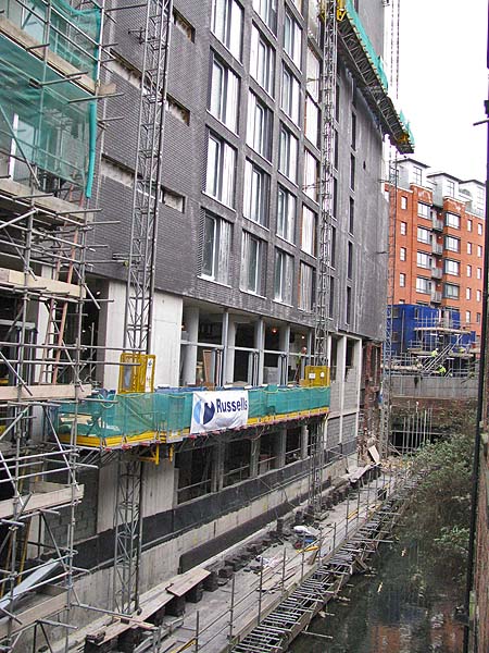 The Medlock loops
once again on its way to Cambridge Street.
The girders in the foreground were once part of a
mill that spanned the Medlock at this point.
Friedrich Engels in his book "The Condition of the
Working Class in England", described this area as
follows, ".. the most horrible spot ..
lies on the Manchester side, immediately
south-west of Oxford Road, and is known as Little
Ireland. In a rather deep hole, in a curve
of the Medlock and surrounded on all four sides by
tall factories and high embankments, covered with
buildings, stand two groups of about two hundred
cottages, built chiefly back to back, in which
live about 4,000 human beings mostly Irish.
The cottages are old, dirty, and of the smallest
sort, the streets are uneven, fallen into
ruts and in part without drains or pavement;
masses of refuse, offal and sickening filth lie
among standing pools in all directions; the
atmosphere is poisoned by the effluvia from these,
and laden and darkened by the smoke of a dozen
tall factory chimneys."
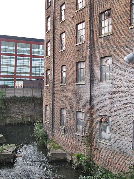
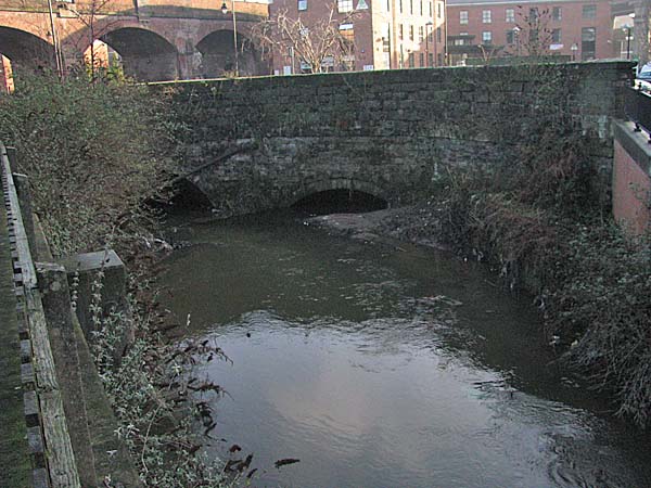
 After crossing below
Cambridge Street the river curves again behind
Hotspur House and enters land once belonging to
the Macintosh Rubber Works and the Gaythorne Gas
Works.
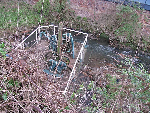
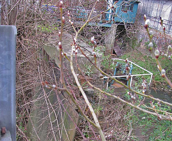
 Even today the river has its problems with unwanted deposits.  The Medlock runs
head-on into the Bridgewater Canal in Knott Mill
near Deansgate. A tippler weir sends excess
water down into a tunnel that runs beneath the
Castlefield canal basin. Below are two
images that offer glimpses of the weir mechanism.
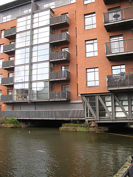
  The Medlock water
that isn't directed down the tunnel passes
beneath Deansgate and the Stay Deansgate
Apartment Buildings before joining the
Bridgewater Canal.
 The water that was directed into the tunnel passes beneath the Castlefield Basin before surfacing again near Potato Wharf.  Near Potato Wharf
is the Giant's Basin, a circular stone weir that
collects the overflow from the Bridgewater
Canal.
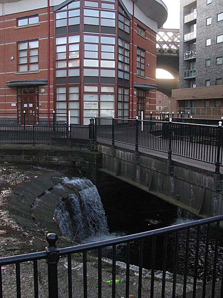 That water
travels through a short tunnel before
surfacing again beside the River Medlock
tunnel.
 From here the Medlock flows off towards its confluence with the River Irwell. 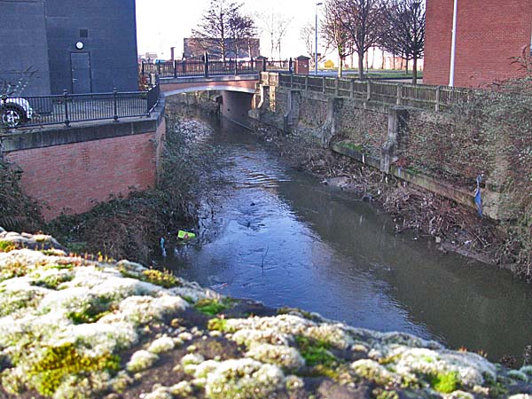 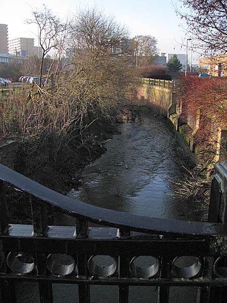 Close Window |