River Irwell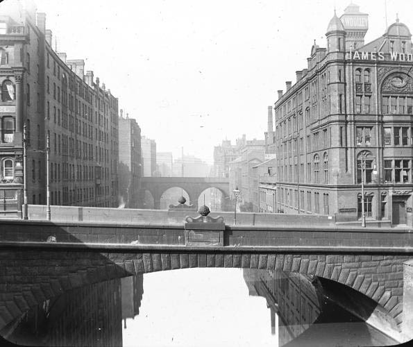 (The image above is shown
with the generous permission of Chetham's Library)
The river Irwell rises in
the hills above Manchester northeast of Bacup.
It flows for some 39 miles until it merges with the
River Mersey at Irlam. Along the way it flows
through Manchester forming a natural barrier between
Manchester and its twin city of Salford. As a
sarcastic reference to Manchester's climate, it has
been referred to as the "Costa del Irwell".
The Irwell was a navigable river in the early years of
the city's development and at the end of Quay Street
there was indeed a quay for unloading goods, that had
come upsteam to the city.
During the Industrial Revolution the banks of the Irwell became home to a wide variety of factories and mills and the effluent from those establishments transformed the river. Whereas once people had fished in the vicinity of of New Bailey Bridge, in 1862 it was described as, "The hapless river—a pretty enough stream a few miles higher up, with trees overhanging its banks, and fringes of green sedge set thick along its edges—loses caste as it gets among the mills and the printworks. There are myriads of dirty things given it to wash, and whole waggon-loads of poisons from dye-houses and bleachyards thrown into it to carry away; steam-boilers discharge into it their seething contents, and drains and sewers their fetid impurities; till at length it rolls on—here between tall dingy walls, there under precipices of red sandstone—considerably less a river than a flood of liquid manure, in which all life dies, whether animal or vegetable, and which resembles nothing in nature, except, perhaps, the stream thrown out in eruption by some mud-volcano". (First Impressions: The English People," by Hugh Miller) In more recent times efforts to rehabilitate the river have born fruit and fish and other wildlife have gradually returned . Today the river flows through a veritable canyon of apartments and hotels as it navigates the city centre. 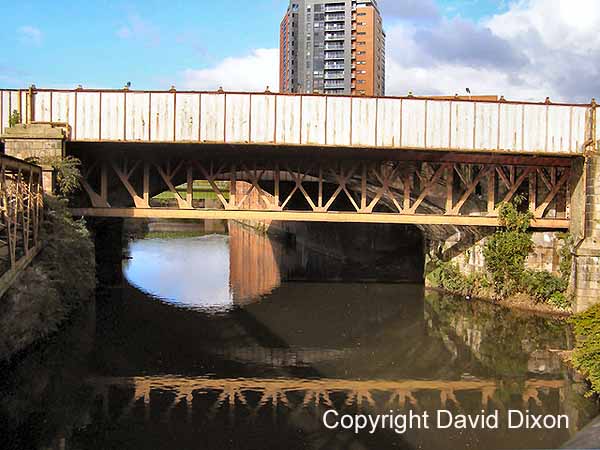 Below we see the
Irwell as it passes the Manchester Evening News
Arena, Chetham's School and the Cathedral. In
Victorian times tour boats plied their trade from
landings in this area.
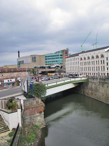 Below you can see the
bridge which carried the approach road to the
former Exchange Station.
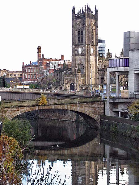
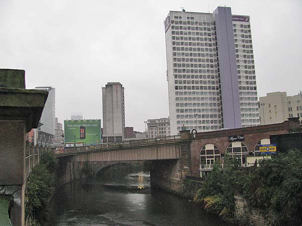 The river moves on westwards from this point passing first under the Victoria Bridge. 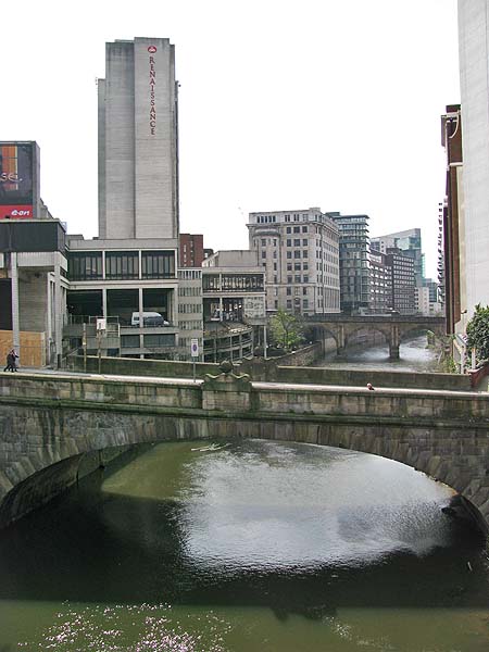 Looking back beyond
the Victoria Bridge we see the Cathedral with
Chetham's School of Music beyond.
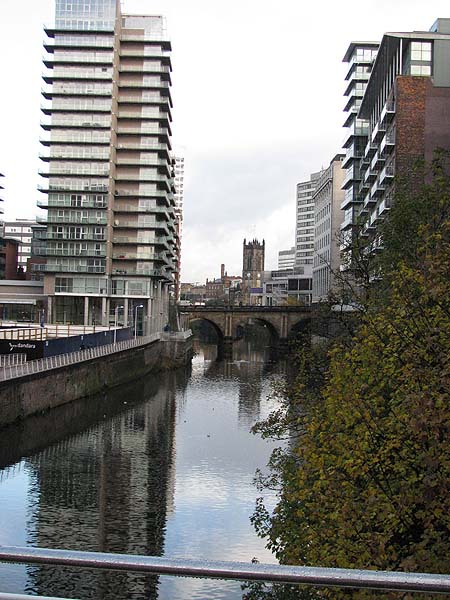
 On the Salford side
of the river (left) The Edge apartment building
stands with Blackfriars Bridge just beyond it.
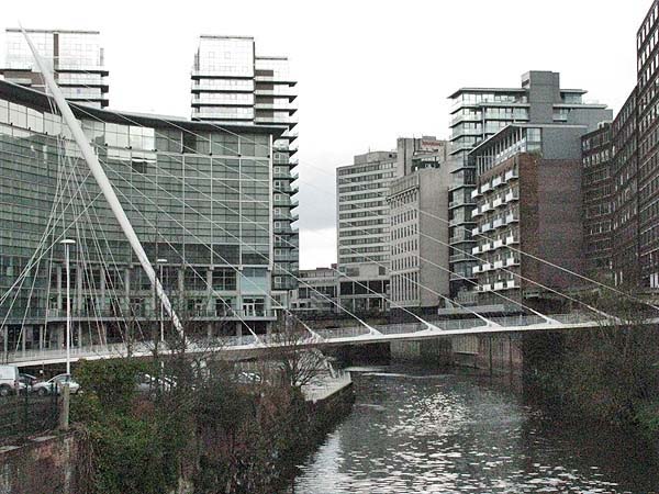
 At a slight bend in
the river, the Trinity Bridge links the Lowry
Hotel to the Manchester side of the river.
 The Albert Bridge
carries Manchester's Bridge Street across the Irwell
where it becomes New Bailey Street. The name
is connected with the New Bailey Prison which once
occupied a site on the Salford bank just beyond the
bridge. On the left beyond the bridge is the
People's History Museum occupying the former
hydraulic pumping station.
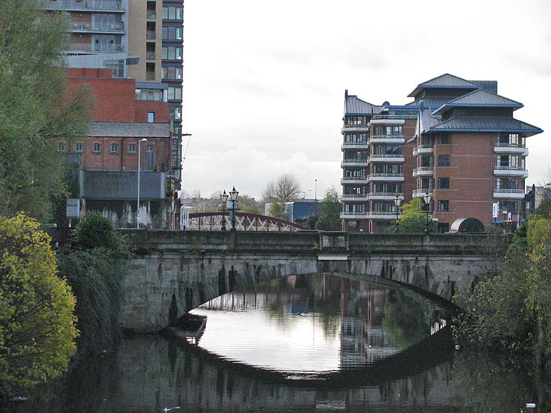 The Irwell Street
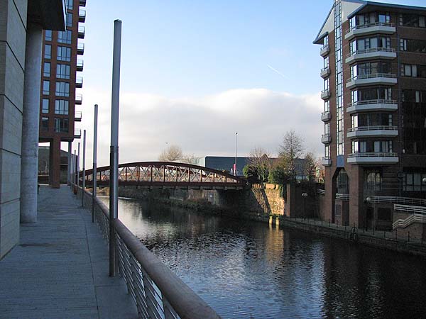
Bridge sits at the end of New Quay Street on the
Manchester side. On the left of the image below
are the relatively new Left Bank apartments.
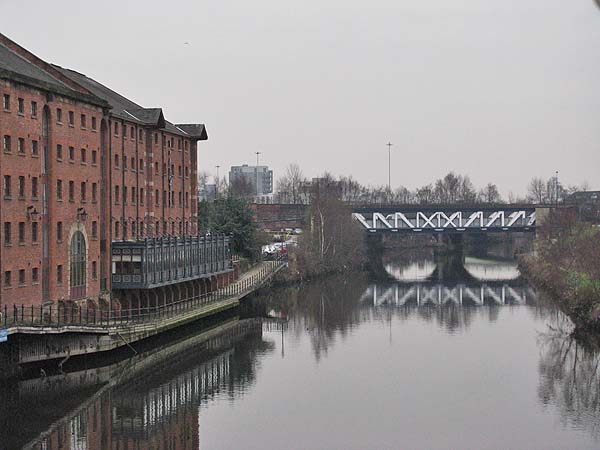
 Looking west from the
Irwell Street Bridge you have the restored warehouses
that are now the Victoria and Albert Hotel.
Crossing the river ahead is the Prince's Bridge,
designed by Stephenson and built in 1830. As the
plaque on the bridge indicates it was "re-erected and
re-opened to traffic" in 1905.
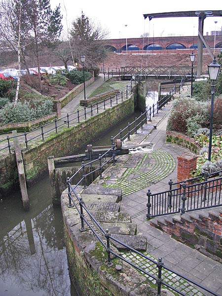
 Just beyond the
Victoria & Albert Hotel a canal lock opens into
the river. This is a remnant of the Manchester
& Salford Junction Canal. Today it is little
more than a water feature in the hotel's car park.
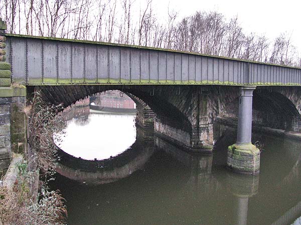
 Beyond the Prince's
Bridge, as the Irwell begins to exit the city centre,
it is crossed by a series of bridges that once carried
railway lines into the Liverpool Street Station.
These were lines on the Liverpool - Manchester Railway
and the first railway bridges carrying rails into the
first railway passenger station in the world.
 |
Close Window