River Irk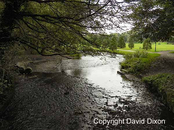 The image above is
shown here with the permission of David
Dixon
The River Irk rises
near Royton, north of Oldham. It flows south
through Chadderton and Middleton before entering
Manchester. In the image above you
can see it in a "rural" setting as passes through
Chadderton Hall Park.
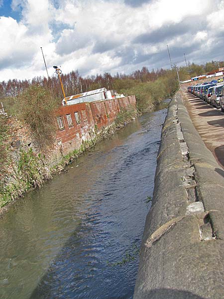
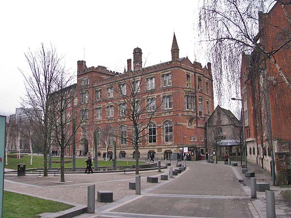
Below you can see
the Irk approaching the city centre beside Dantzic
Street.
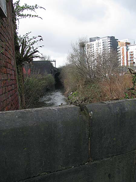
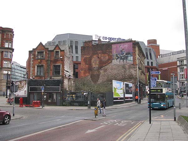
 A bridge crosses
the Irk in the vicinty of Roger Street and Gould
Street. Up ahead it passes beneath the
railway viaducts.
 Below is the view
looking north and east from the Ducie Bridge in
2009. The Irk is seen emerging again from
beneath the railway viaduct. The Green
Quarter development is seen on the left.
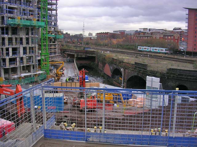 The image above is © Copyright Keith Williamson and licensed for reuse under this Creative Commons Licence Beyond the Ducie
Bridge the River Irk is an invisible visitor to
the city because most of its course is
culverted. This wasn't the case in the days
when Friedrick Engles lived there. In his
book, "The Condition of the Working Class in
England", Engles described the Irk as he saw
it. "The south bank of the Irk
is here very steep and between fifteen and
thirty feet high. On this abrupt slope there are
planted three rows of houses, of which the
lowest rise directly out of the river, while the
front walls of the highest stand on the crest of
the hill in Long Millgate. Among them are mills
on the river, in short, the method of
construction is as crowded and disorderly here
as in the lower part of Long Millgate. Right and
left a multitude of covered passages lead from
the main street into numerous courts, and he who
turns in thither gets into a filth and
disgusting grime, the equal of which is not to
be found - especially in the courts which lead
down to the Irk, and which contain unqualifiedly
the most horrible dwellings which I have yet
beheld." He goes on to describe the
view from the Ducie Bridge as follows, "The
view from this bridge, mercifully concealed from
mortals of small stature by a parapet as high as
a man, is characteristic for the whole district.
At the bottom flows, or rather stagnates, the
Irk, a narrow, coal-black, foul-smelling stream,
full of debris and refuse, which it deposits on
the shallower right bank."
Below is a map of
the area from 1850 showing the exposed Irk between
the Ducie Bridge and the confluence with the River
Irwell.
 The red star added to
the map above shows the approximate location of
the photograph below. The Irk is passing
beneath the ground at that point.
  Below is the point where the Irk emerges from the culvert to join the Irwell near the MEN Arena. 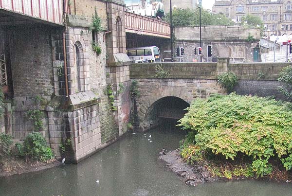 Close Window |