|
Carol Steel's Photographs
- from the neighbourhood she grew-up
in -
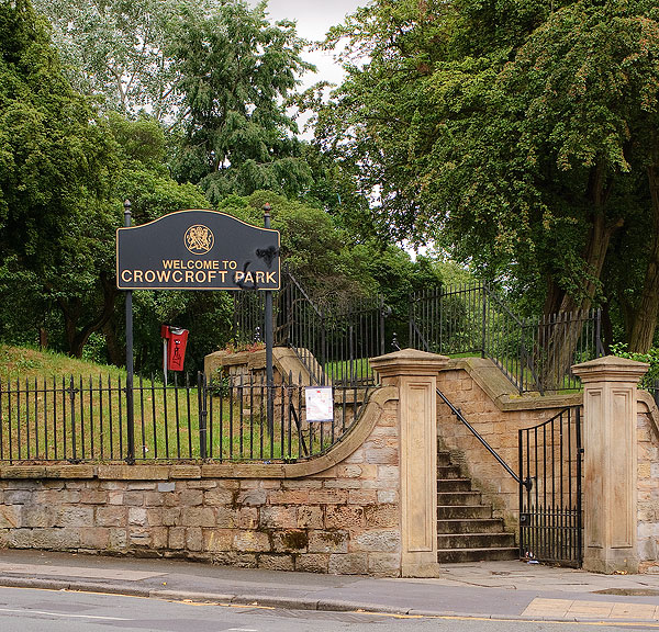 |
| Crowcroft Park, entrance
from the corner of East Road and Stockport Road. |
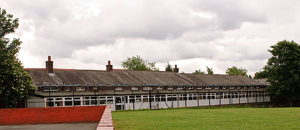 |
| Crowcroft Park Infant
School shjowing what used to be the real infants section. |
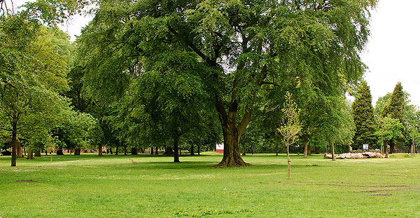 |
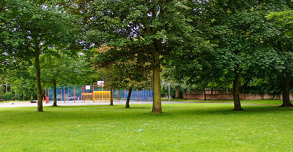
| An open area of Crowcroft
Park looking towards the bowling green. On the left
was where the old summer shelter and band stand were
situated. |
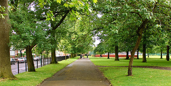 |
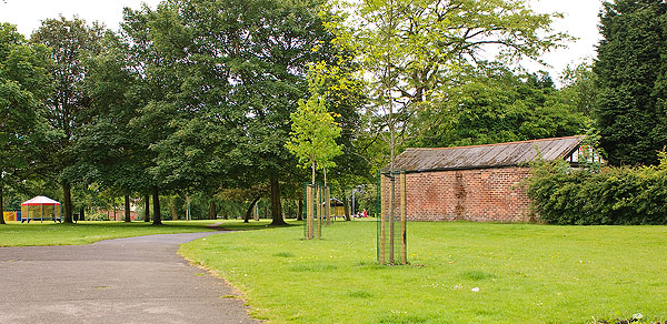
| The path through Crowcroft
Park adjacent to Northmoor Road, which I used to walk
every day to get to school. |
 |
| The area of Crowcroft Park
where the tennis courts used to be 60 years ago. |
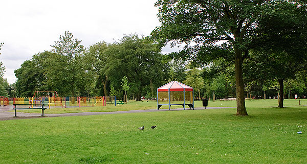 |
| Children's Play Area in
Crowcroft Park. |
 |
| The corner of Crowcroft
Park at the East Road/Northmoor Road corner - which is
exactly the same as it was 60 years ago. |
 |
| The entrance to Crowcroft
Park from the East Road / Northmoor Road corner. |
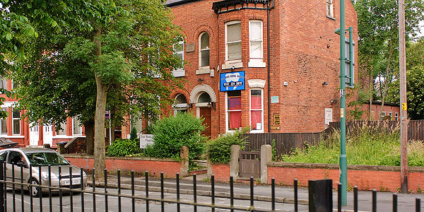 |
| The dental practice which I
used to visit as a child almost 60 years ago. |
 |
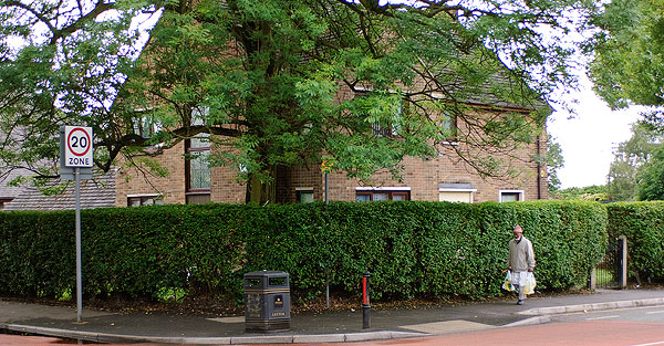
| A new house standing where
an old shop stood on this corner. |
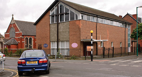 |
| The new North Road
Methodist Church at the junction of East Road and
Northmoor Road. |
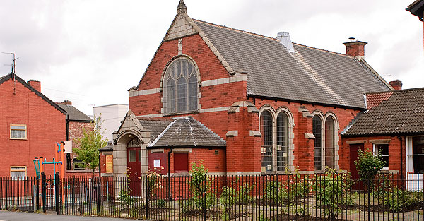 |
| The old
North Road Methodist Church at the junction of East Road
and Northmoor Road. |
 |
| Looking down Northmoor Road
from the junction of East Road and Northmoor Road. |
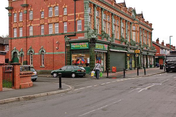 |
| Above & Below:
The old Co-op stores with the function rooms over the top
on Northmoor Road (previously North Road). |
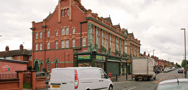 |
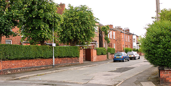 |
| Peel Grove looking towards
Pink Bank Lane from Northmoor Road. |
 |
| The old rectory of St.
Cyprian's Church on the corner of Northmoor Road and what
used to be Norman Grove (now Belgate Close). |
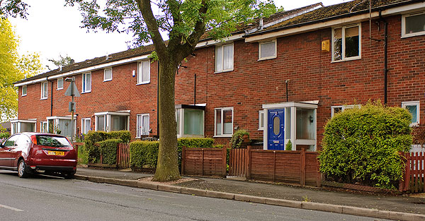 |
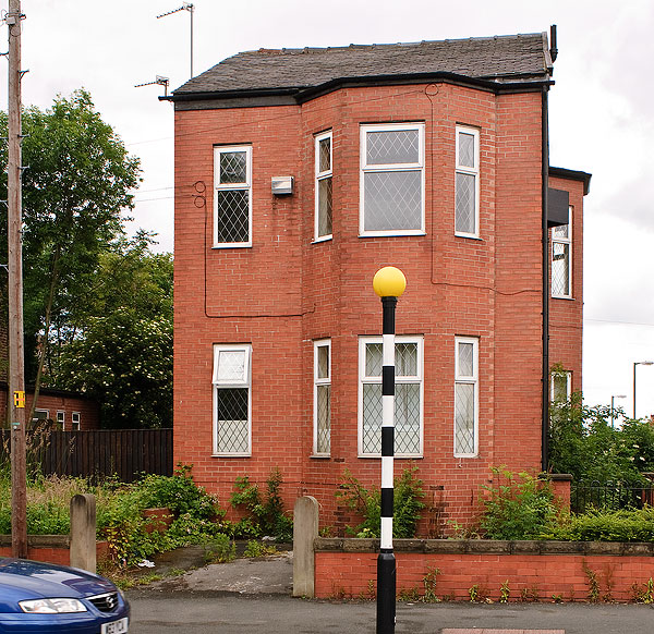
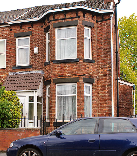
| Where I used to live on
Kirkmanshulme Lane, near the junction with Northmoor Road,
then it used to be an old Victorian terrace. |
 |
| Above and Below: The
old Manchester Central Grammar School for Boys. |
 |
 |
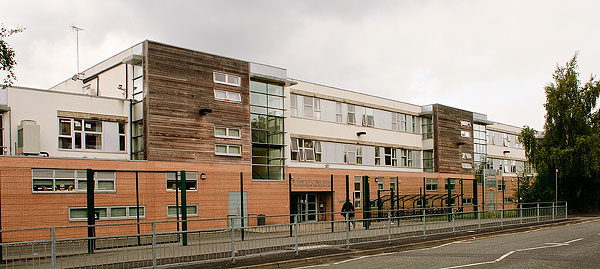 |
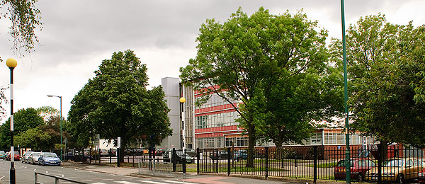
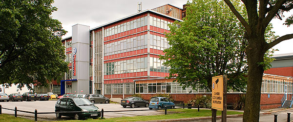
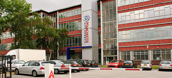
| A new college now stands on
what used to be the Council flats which stood between Pink
Bank Lane and Northmoor Road. |
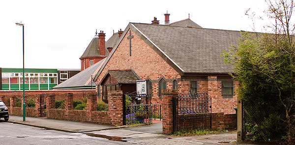 |
| Above & Below: A
new church on what used to be the site of St. Cyprian's
Church on Rushford Street (Stanley Grove School in the
background) |
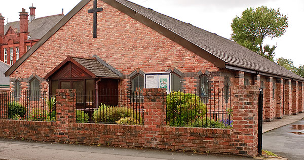 |
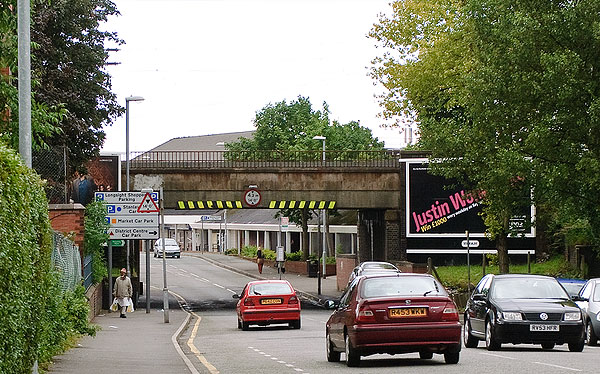 |
| Looking down Stanley Grove
towards Stockport Road - the old railway bridge with the
new shopping centre beyond. |
 |
| The new rectory of what
used to be St. Cyprian's Church on the corner of Stanley
Grove and Rushford Street. |
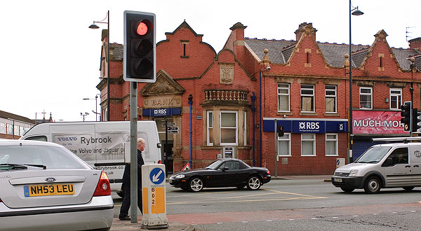 |
| The old bank on the corner
of Dickenson Road and Stockport Road. |