Southwestern
Longsight
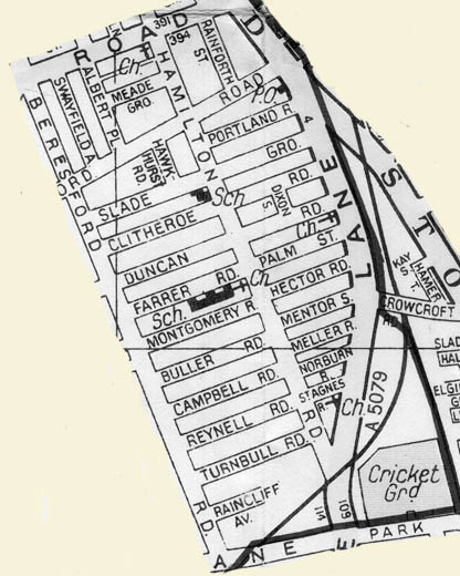
The map above is shown with the permission of Eric Rowland.
founder of the Artus Genealogy Website - www.artus-fh.co.uk
The
Southwestern corner of Longsight is made up of a
handful of streets located in a roughly rectangular
formation between Stockport Road in the east,
Beresford Road in the west with Dickenson Road marking
the northern boundary and Old Hall Road the
south. Ironically, it contains the oldest
building in Longsight and, in 2014, the newest.
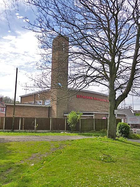
If you take a diversion between the shops down Crowcroft Road, you will find the former Bethshan Tabernacle now the Bethshan International Church, built in 1957.
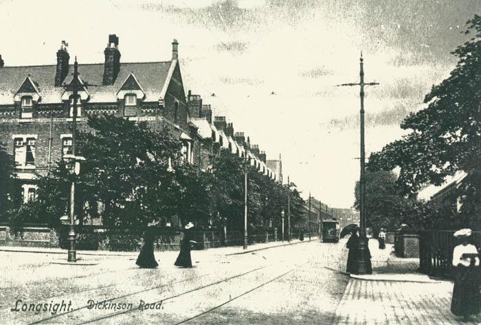
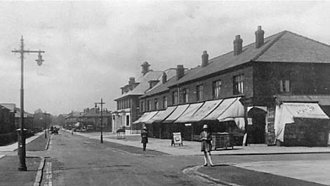
In earlier times Dickenson Road looked quite different.
**********************
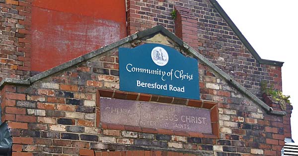
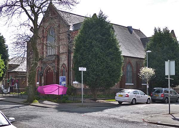
At the corner with Slade Grove is this Community of Christ church which, as the plaque above the entrance says, was once The Reorganized Church of Jesus Christ of Latter Day Saints.
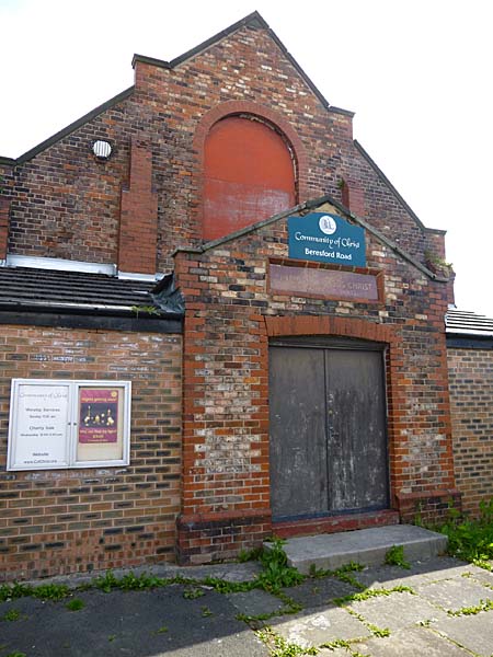
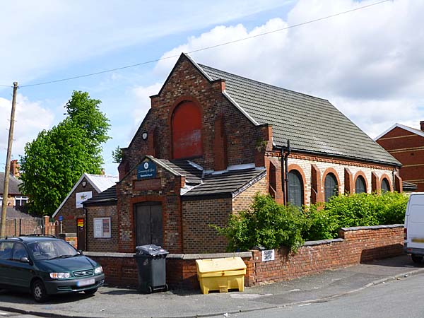
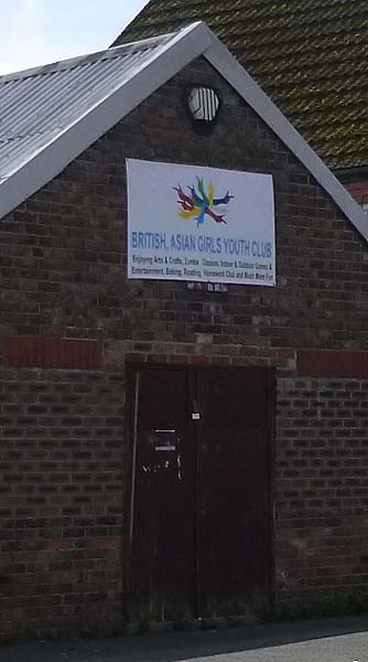
The sign on the building beside the church says that it is home to the British Asian Girls Youth Club.
Slade Grove stands between the church and a parade of shops.
Looking back towards the Anson Pub in earlier times.
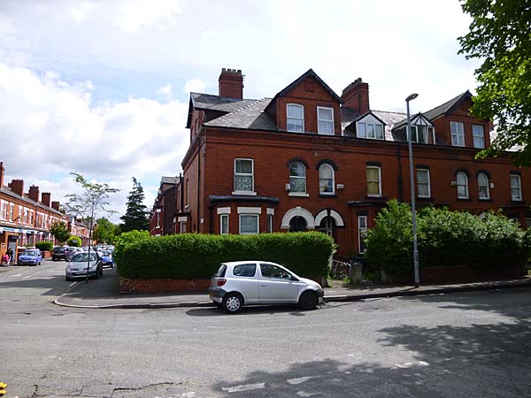
The corner of Buller Road and Beresford Road.
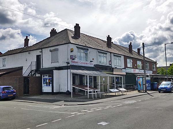
Buller Street
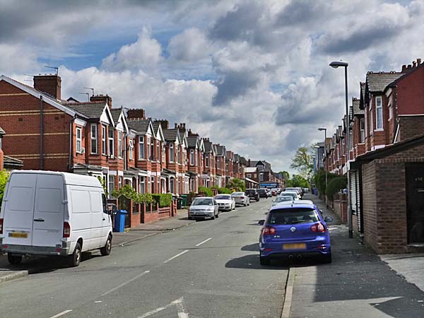
Mentor Street looking towards Slade Lane.
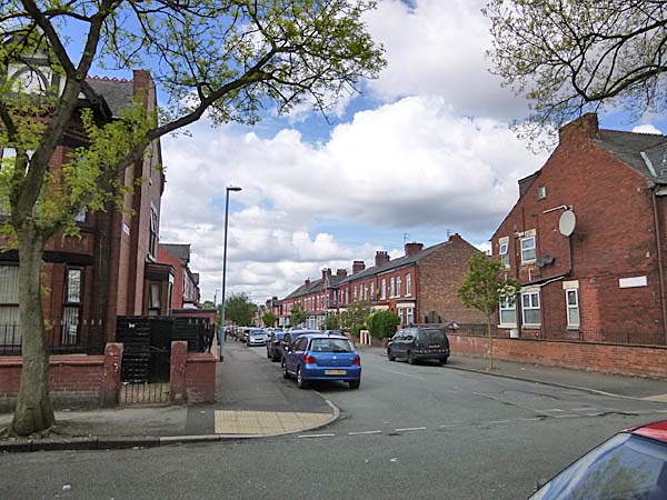
Looking towards Hector Street from Hamilton Road.
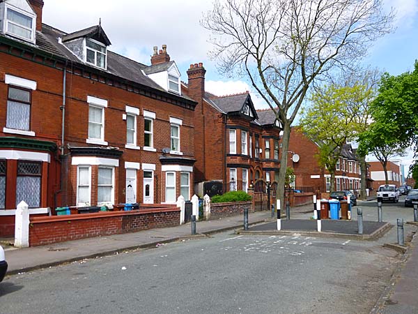
Hamilton Road looking north just beyond the junction with Farrer Road and Palm Street.
Looking west down Duncan Road.
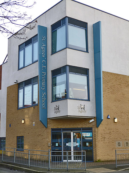
The corner of Duncan Road and Hamilton Road with St Agnes' School up ahead.
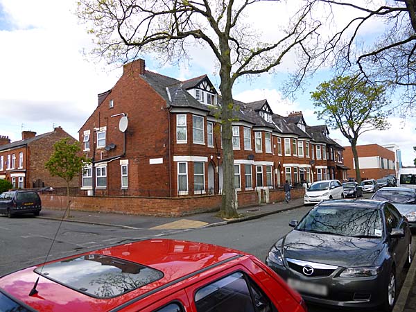
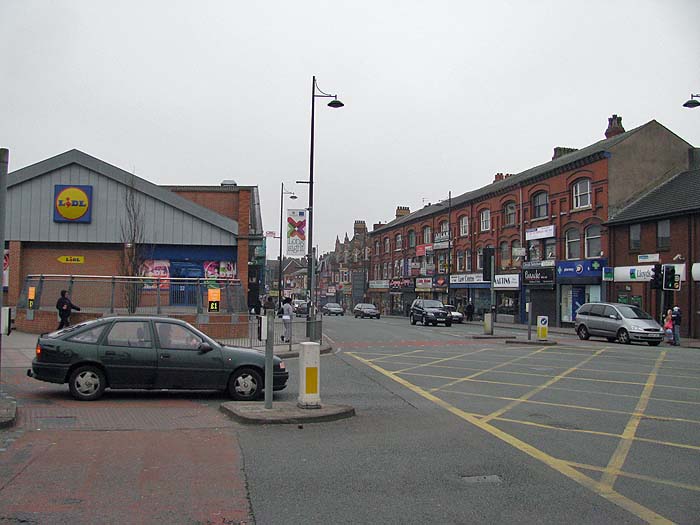
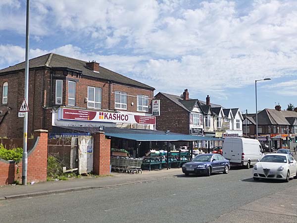
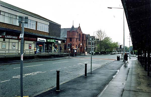
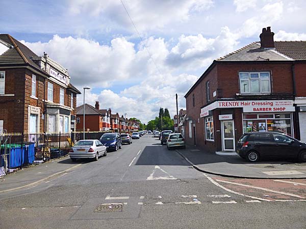
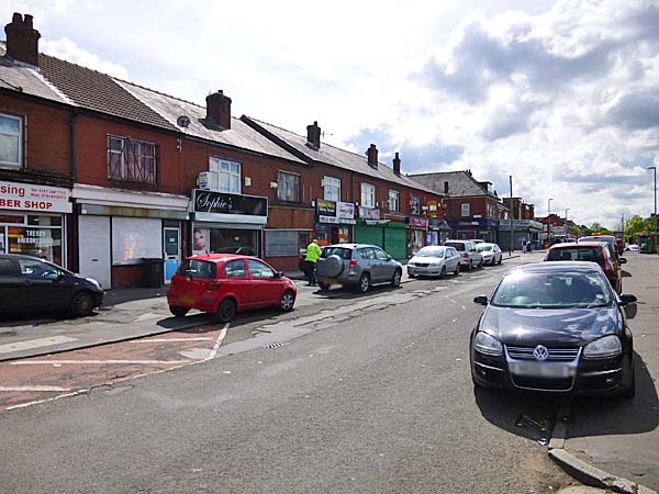
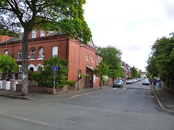
We begin
the tour by walking along Stockport Road from the
corner with Dickenson Road. This stretch of
the road up to the junction with Slade Lane is
home to a wide variety of retail outlets.
Little has
changed here in the last hundred years.
There are still shops and they still sell food,
clothes, newspapers and sweets. There are
still services like travel agents and banks.
Only the names have changed along the way.
We branch
off from Stockport Road to follow Slade
Lane.
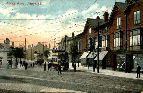
A
toll booth once stood at the apex of the junction
(the white building on the left).
Since I was a child, a small park has occupied
that site.
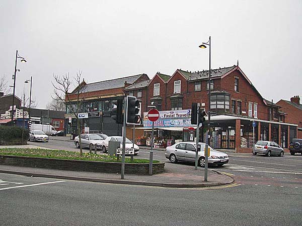
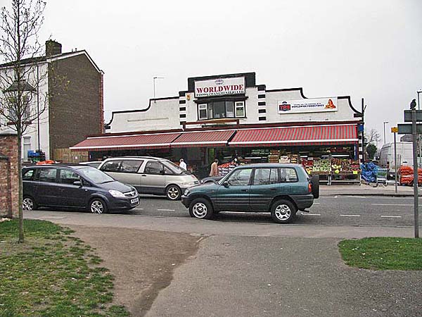
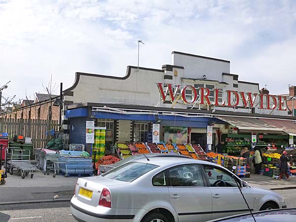
As you progress up Slade Lane, a large white
fronted building stands on the corner with Slade
Grove. The attractive displays of fruit and
veg disguise the fact that this was once a popular
billiard hall.
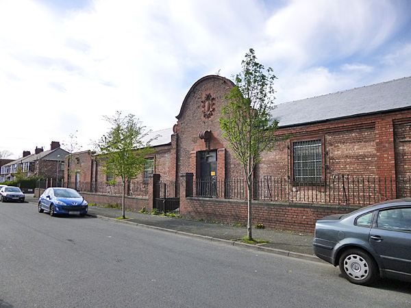
A little further along Slade Lane on the same
side is the former Longsight Baptist Church and
associated Sunday School dating from 1898.
Today, it is the
Church
of God Seventh Day.
Off to the left, where Crowcroft Road joins, are
two parades of shops.
If you take a diversion between the shops down Crowcroft Road, you will find the former Bethshan Tabernacle now the Bethshan International Church, built in 1957.
Back on Slade Lane, as you pass Norburn Road
on your left, you will notice a half-timbered
house peeking out through the shrubbery and
trees. This is Slade Hall which has stood on that spot since the
13th century.
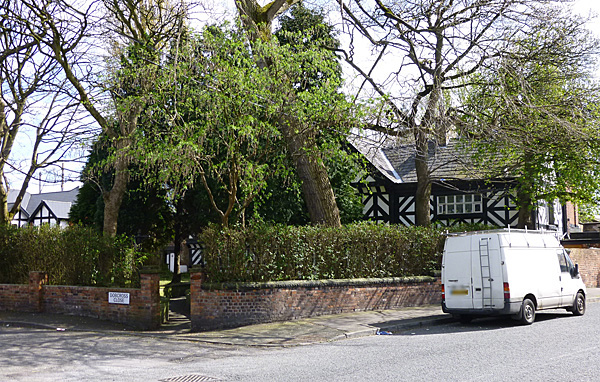
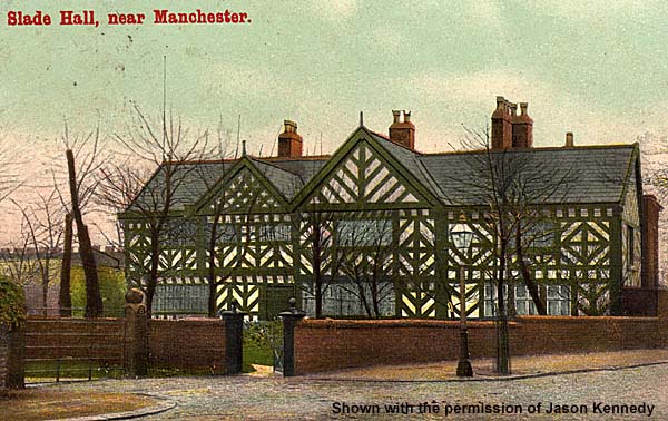
With an
attached garage and burglar alarms on its
walls, only the half timbering might reveal
its age. Thomas Siddall purchased the Hall in
1580 and his family's name is preserved in nearby
Siddall Street.
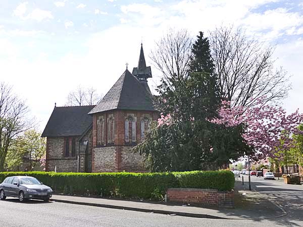
To
your right at this point is the beautiful St
Agnes' CofE Church.
The foundation
stone was laid by the Bishop of Manchester
on the 19th of July, 1884 and the completed
building was consecrated in 1885.
If you walk along St Agnes Road and take the first right you are on Hamilton Road. If you head north for four blocks you arrive at Montgomery Street and the site of Longsight's newest building when I was there in April of 2014. St. Robert's Church used to sit on the plot of land between Mongomery Road and Farrer Road.
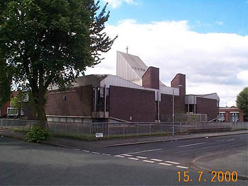
The image above is shown with the permission of Graham Todd
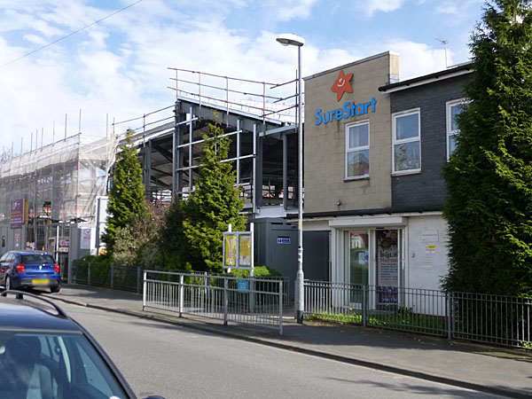
Today the site is home to Longsight Sure Start Centre and under construction is Longsight Community Primary School, scheduled for completion in late 2014.
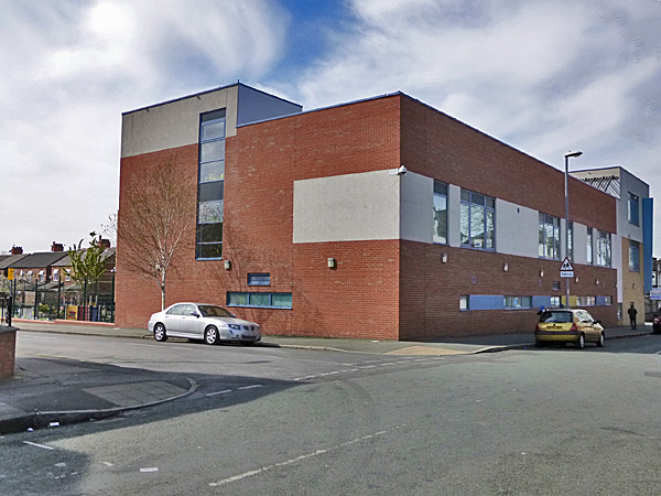
Continuing North along Hamilton Road you encounter the impressive St Agnes' School.
If you walk along St Agnes Road and take the first right you are on Hamilton Road. If you head north for four blocks you arrive at Montgomery Street and the site of Longsight's newest building when I was there in April of 2014. St. Robert's Church used to sit on the plot of land between Mongomery Road and Farrer Road.
The image above is shown with the permission of Graham Todd
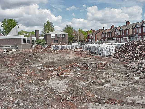
Behind
it, extending along Montgomery Road, was
St Robert's School.
Both
were demolished circa 2007.
Today the site is home to Longsight Sure Start Centre and under construction is Longsight Community Primary School, scheduled for completion in late 2014.
Continuing North along Hamilton Road you encounter the impressive St Agnes' School.
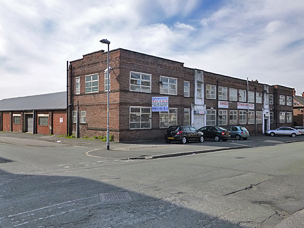
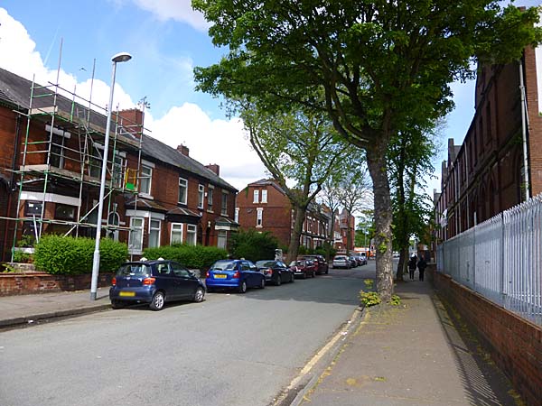
At this point the
road becomes less residential and
more commercial. The building
below, judging by its architecture,
dates from the 1930s and is
apparently involved in the garment
industry.
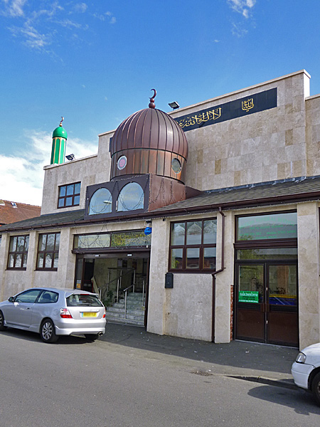
Looking to your left
down Stamford Road you will see a
mosque occupying another former
commercial building ....
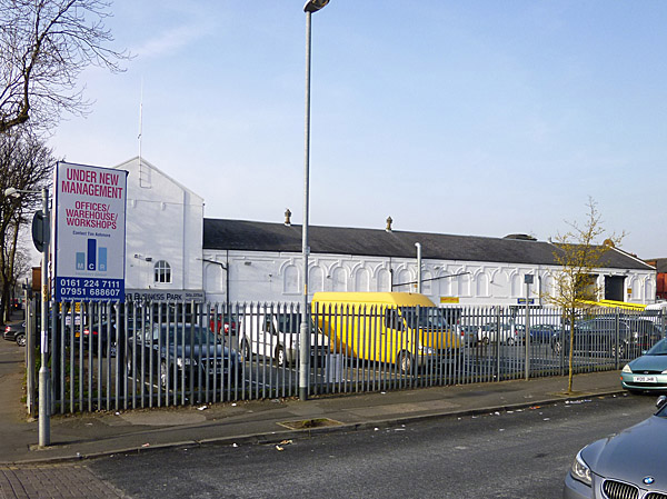
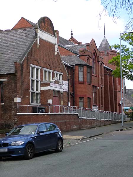
If you look to your right from Hamilton Road you will see the substantial remains of the CWS Print Works that occupy a whole block between Hamilton Road and Rainforth Street.
... and the
remnants of a former ladies
underwear factory.
The car park at
the end of that building was once
the site of a cinema.
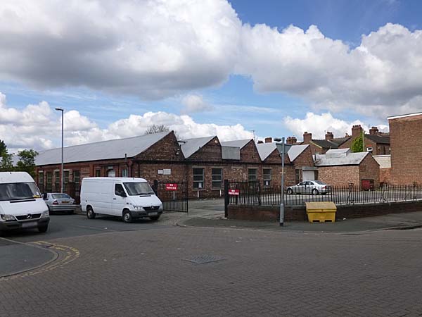
If you look to your right from Hamilton Road you will see the substantial remains of the CWS Print Works that occupy a whole block between Hamilton Road and Rainforth Street.
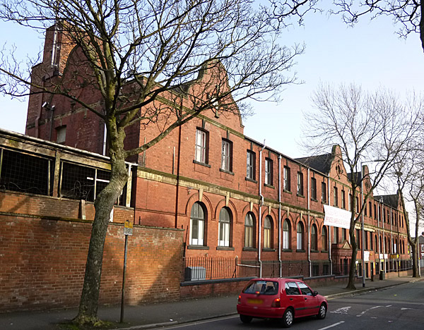
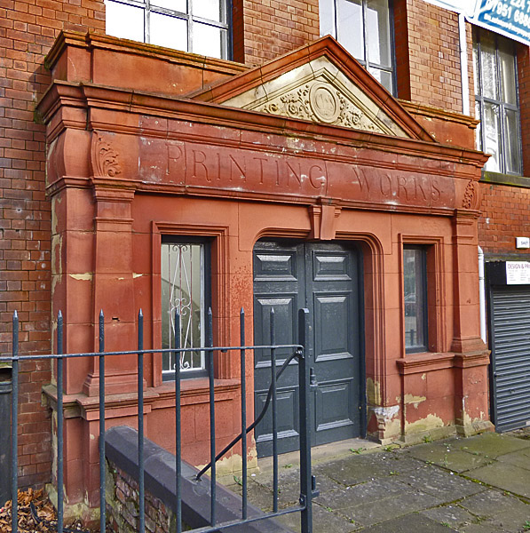
It extends along
Hamilton Road where you can still
find the former main entrance.
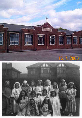
Here it is in its original glory along with the workforce.
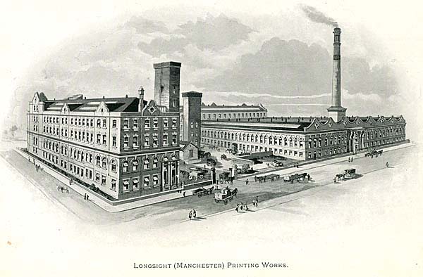
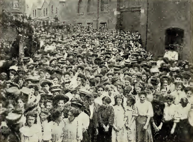
Here it is in its original glory along with the workforce.
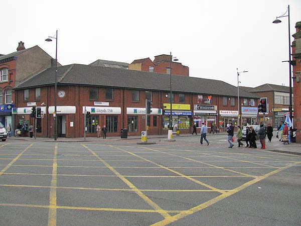
We are now
approaching Dickenson Road with
Longsight Market across the
way. To our left is the
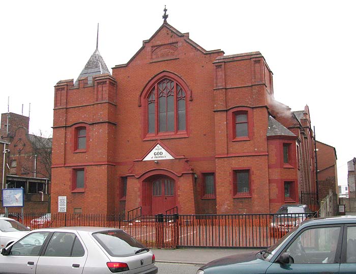
Church of God of Prophecy.
The church today serves an evangelical congregation from Longsight's West Indian Community, but when it was built in 1907, it was the College Chapel Methodist Church. The building was closed in 1978 but later re-opened in its new role.
The church today serves an evangelical congregation from Longsight's West Indian Community, but when it was built in 1907, it was the College Chapel Methodist Church. The building was closed in 1978 but later re-opened in its new role.
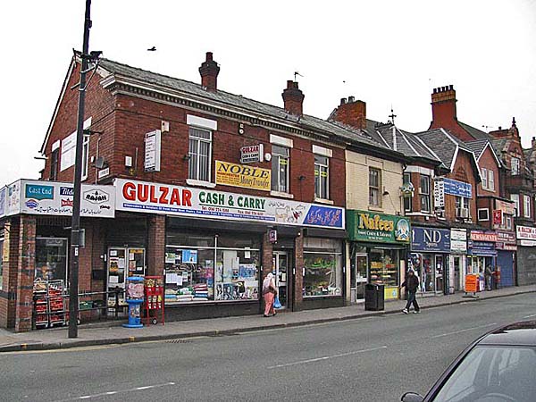
Between
Hamilton Road and Stockport Road are more
shops.
In earlier times Dickenson Road looked quite different.
**********************
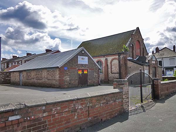
Beresford
Road marks the western edge of the district.
At the corner with Slade Grove is this Community of Christ church which, as the plaque above the entrance says, was once The Reorganized Church of Jesus Christ of Latter Day Saints.
The sign on the building beside the church says that it is home to the British Asian Girls Youth Club.
Slade Grove stands between the church and a parade of shops.
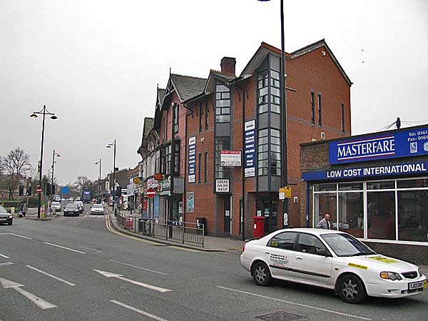
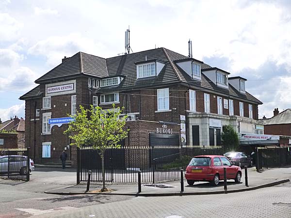
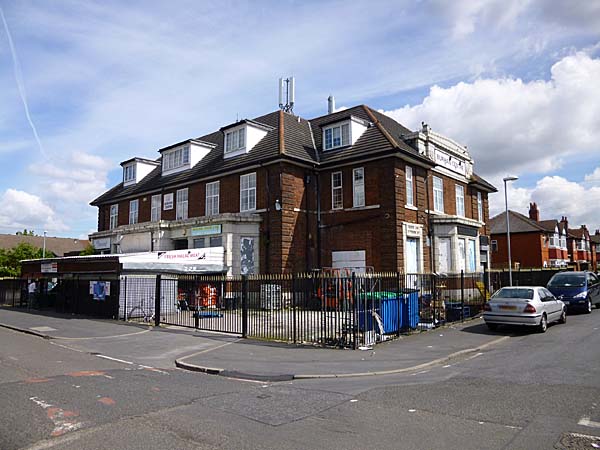
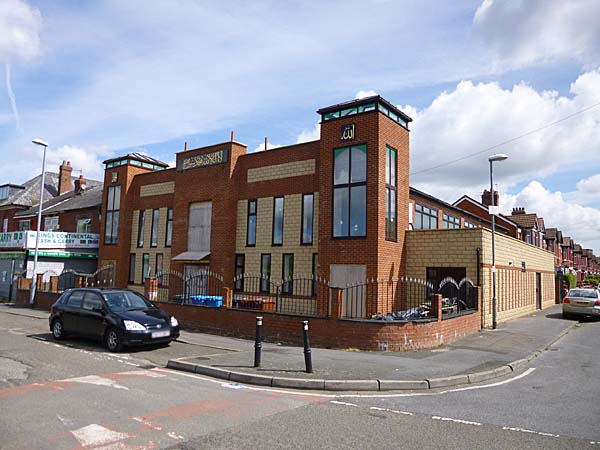
At
the corner of Duncan Road is the former
Anson pub now the Burhan Centre, home to a
food cash & carry and a branch of the
Asian clothing retailer Burooj.
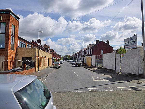
Farrer
Street runs off Beresford Road at the point
and another parade of shops begins across
the street from the Burhan Centre.
Looking back towards the Anson Pub in earlier times.
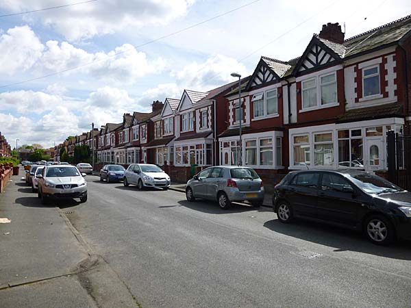
The corner of Buller Road and Beresford Road.
Buller Street
Mentor Street looking towards Slade Lane.
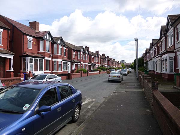
Looking towards Hector Street from Hamilton Road.
Hamilton Road looking north just beyond the junction with Farrer Road and Palm Street.
Looking west down Duncan Road.
The corner of Duncan Road and Hamilton Road with St Agnes' School up ahead.