|
I was, of course,
of that generation that at one point didn't have a
TV. Evenings were spent around the radio or at
the pictures with my Dad, and we saw every cowboy and
war film that they made in the 50's. In addition, I
often went to the Minor's Club at the Apollo on
Saturday mornings and the matinée at the Kings on
Saturday afternoon watching Hopalong Cassidy, The
Cisco Kid and various Science Fiction Soap Operas. 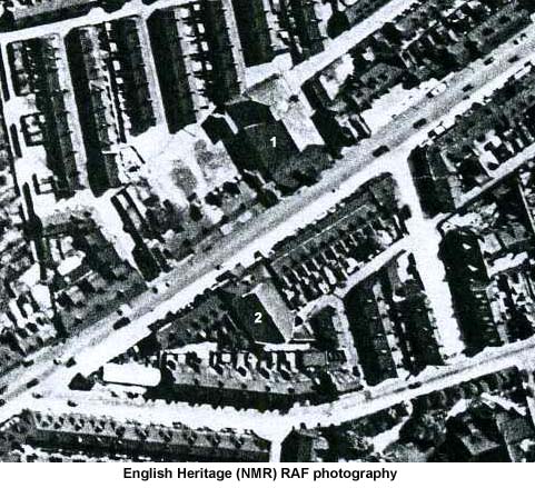
The photograph below shows the Shaftesbury cinema (It is displayed here with the permission of the Manchester Archives and Local Studies Department) 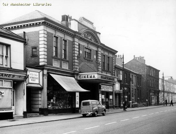 The
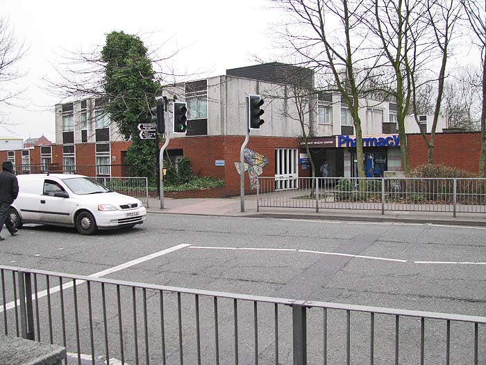
photograph below shows the site once occupied by the
Shaftesbury, which is now home to the Longsight
Medical Centre.
 What I knew as the Kings Picture House started out life as The Kings Opera House. It opened in 1904 and operated as a live theater for 29 years. During that period it was home to both live drama and vaudeville. Below is a copy of a programme from 1932. 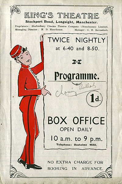 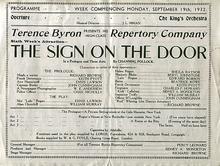 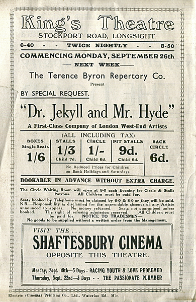 It was then converted into a cinema and operated in that role from 1933 until 1964. After closing, it had a brief period as a club before finally being demolished in 1973. 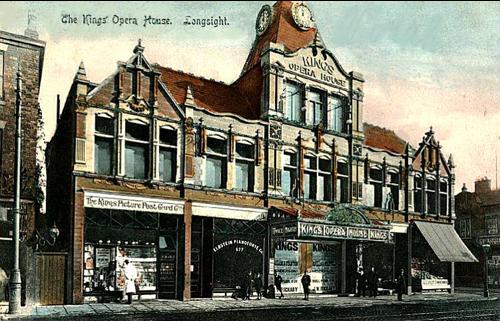 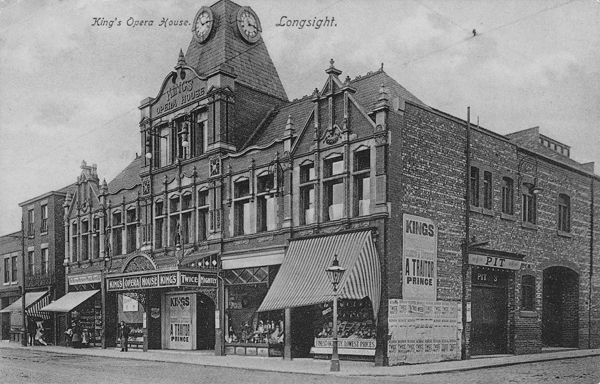 Below is the site of the Kings today. 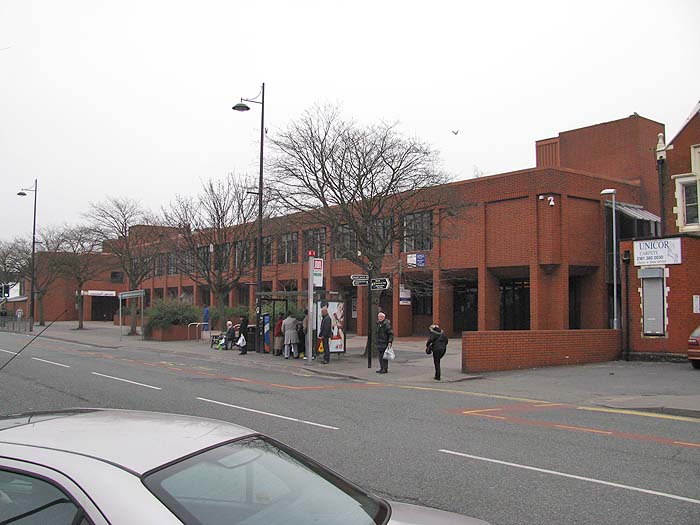 **************************** Further down Stockport Road, at
the point where Slade Lane branched off to the
right, sat the Queens. It occupied a site on
the east side of the road, next to Gore Brook,
which sort of flowed by. Generally the water was
so polluted that it wasn't that easy to detect
flow. Behind the Queens ran the main Manchester to
London rail line which at that point was beginning
to approach Longsight station. Many a magic moment
was punctuated by a train trundling by. I remember
going there to see the Ten Commandments and having
to go ahead of time to line up to make a booking,
very posh.
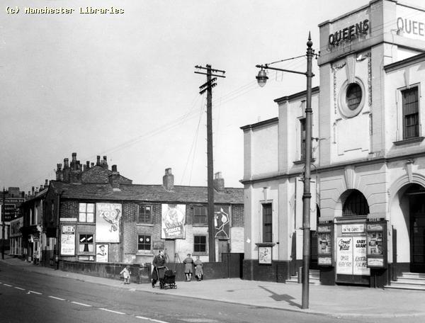 The site is much changed today. The photograph below shows the buildings that have replaced the Queens and the Crown pub (later called the Céilidh) that used to sit next door. 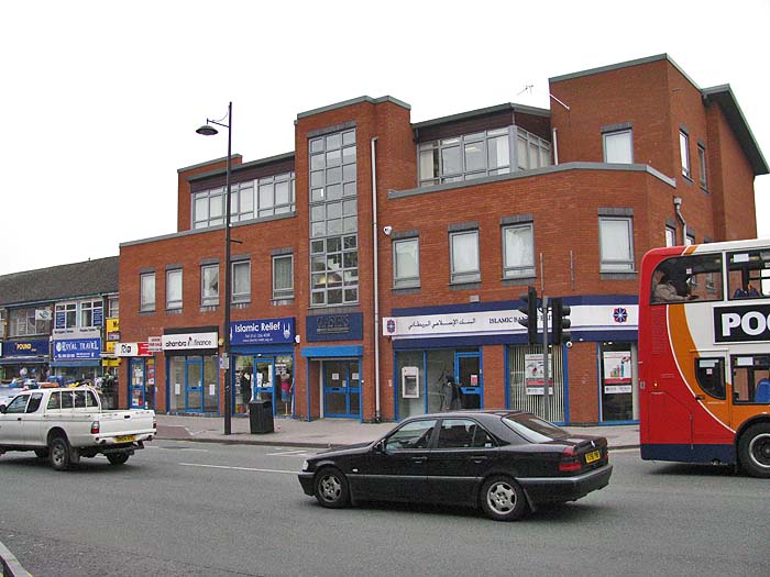 ****************** However, this isn't the end
of the story. In the book "
Longsight Past and
Present" by Gay Sussex,
the author claims that, " ... the
area used to have four cinemas.
There was a 'picture palace' in Hamilton
Road, opposite the Co-op. Print Works ...
" This certainly appears to
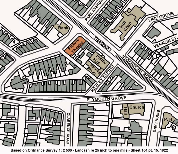
be the case because the 1922 OS map of the
area shows a "Picture Theatre" just where the
author said it was. (The map below is my
version of that map with the reference
information for the original)
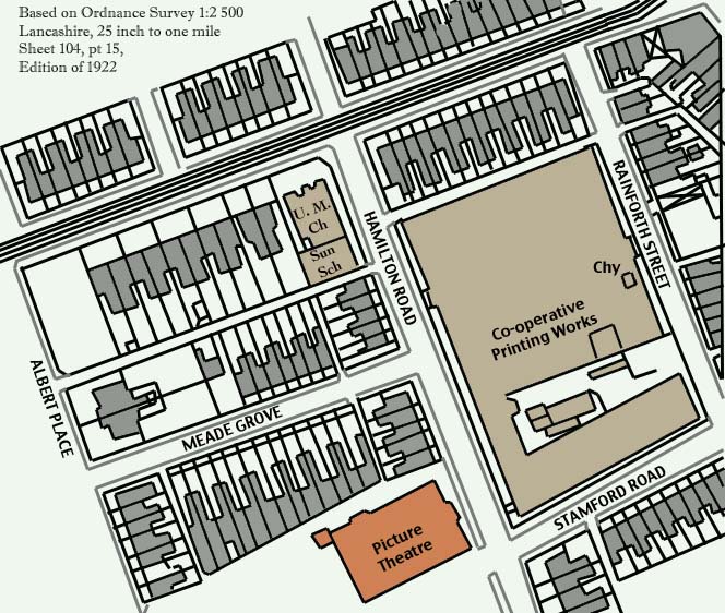 The Picture Theatre wasn't
there in 1908 and it was gone by the time the
1933 map was published.
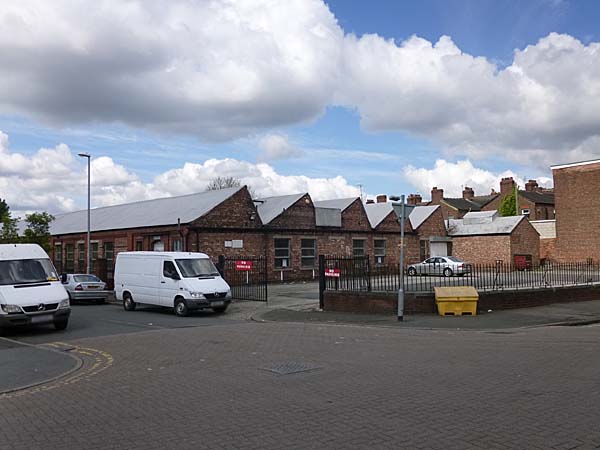
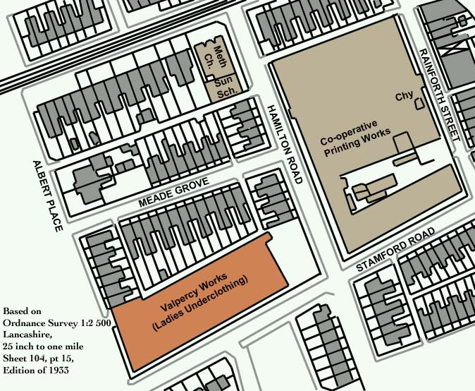 By 1933 the site was
occupied by the Valpercy garment
factory. The site of the theatre had
become a parking area for the factory and
that is still the case in 2014.
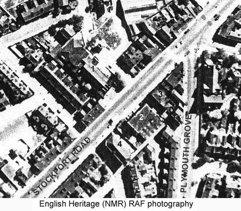
  The aerial photograph
below was taken in the 1940s. The
building marked on the map above as a
"Picture House" can be seen marked
number 4. Number 2 is the
Longsight Public Hall, Number 3 is the
Ducie Arms and Number 1 is the Ivy
Chapel.
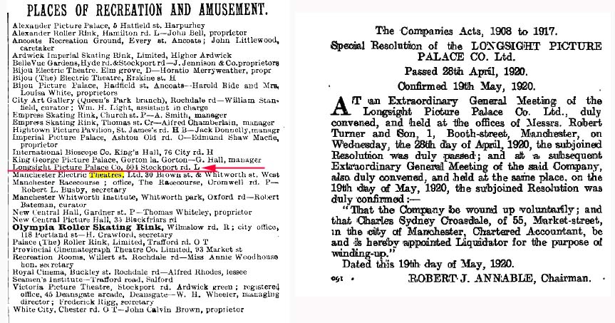
 The Slaters Directory
for Manchester and Salford, dated 1911,
has an entry (as you can see below left)
for the "Longsight Picture Palace Co,
504 Stockport Road L. So it would
seem that it was operating by at least
1911. However, it didn't last too
long because, as the document on the
right below indicates, the company that
owned it was wound up in 1920. By
the time the 1933 map was published the
building on that site was listed as a
corset factory.
 |