| Northeastern Longsight
- now Ardwick - 2014- In 2014, the area I grew up in
during the 1950s is almost unrecognizable.
Most of the area was cleared in the 1960s and
1970s and over time a new community was
built. The street layout is almost
completely different although some of the names
remain. However, the greatest change is the
fact that this is no longer Longsight.
Boundary changes have resulted in this becoming
part of Ardwick.
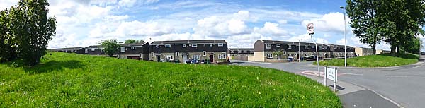
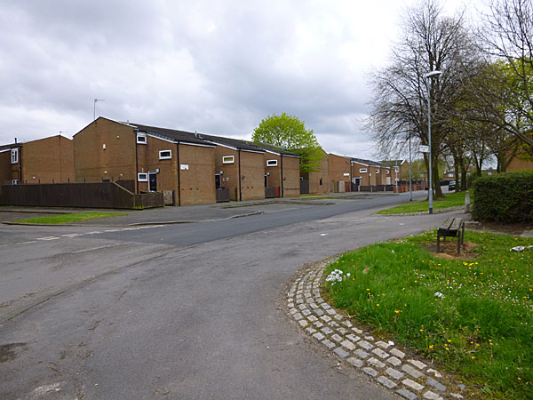
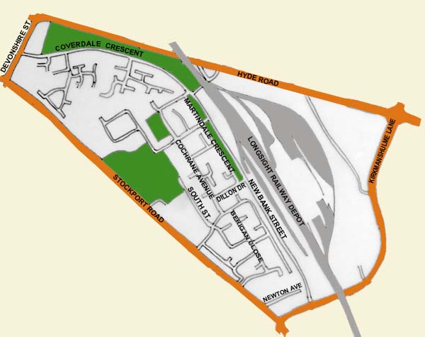 Gone are the claustrophobic
terraced streets and in their place you will
find low rise housing amidst large areas of
grass where once homes, shops, pubs and churches
stood. Here are some images of the area,
some taken in 2009 but most in 2014.
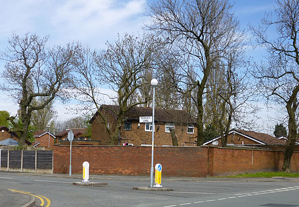
The junction of Redgate Lane &
Kirkmanshulme Lane where Belle Vue once stood.
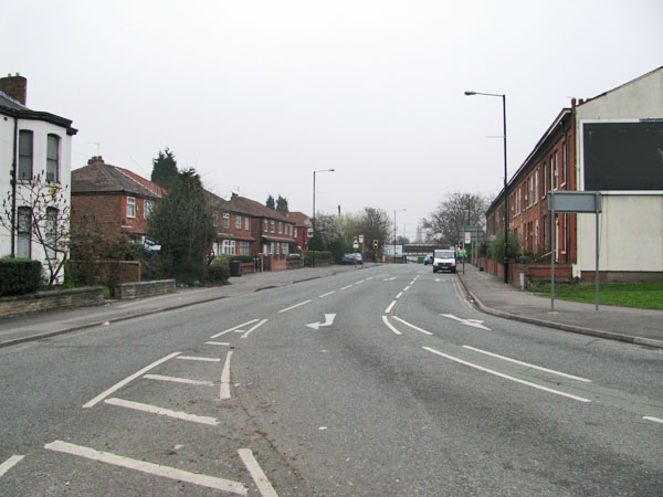
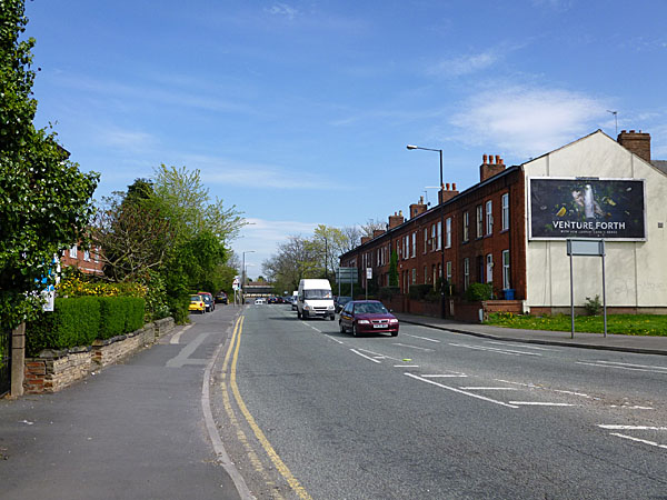
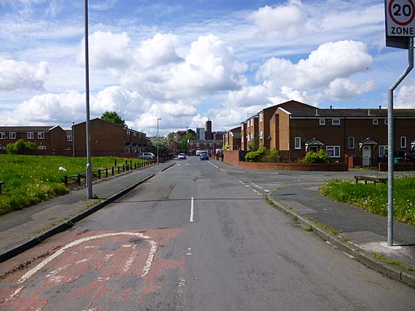
 Kirkmanshulme Lane from Stockport Road.
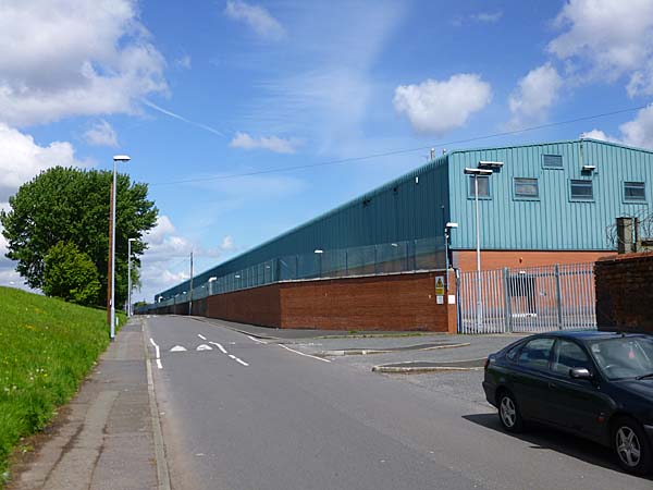
      Turning off down New Bank Street 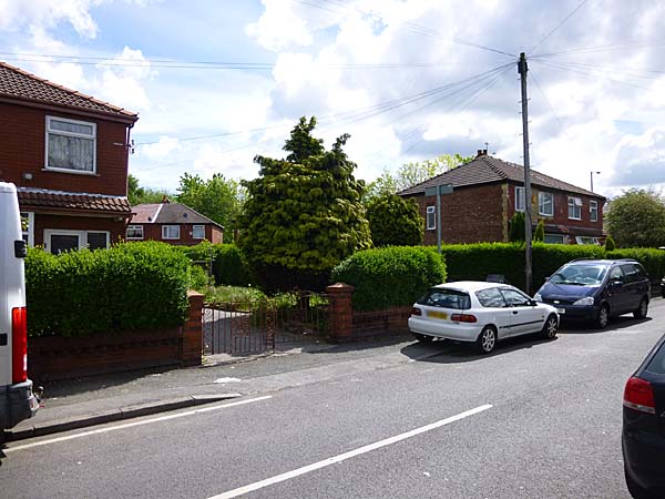 A grassy berm replaces the
houses that once lined the street. The
huge blue clad workshop is part of Alstom's
railway service centre.
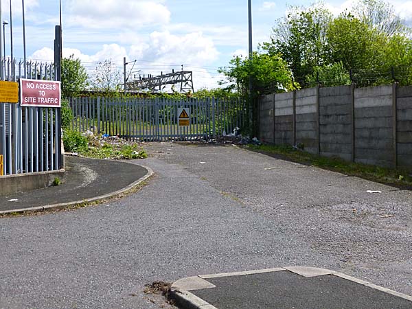
 This is all that remains of
the ramp that ran up to Longsight Station and
the underpass we took on a Saturday night to
get to the speedway at Belle Vue.
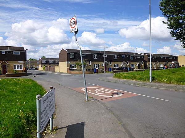
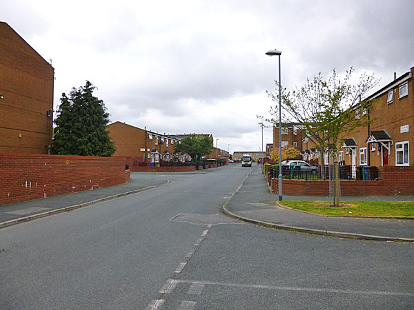
 Dillon Drive runs off New
Bank Street in almost the same location that
Holt Street, where I grew up, ran westwards
towards the Daisy Mill.
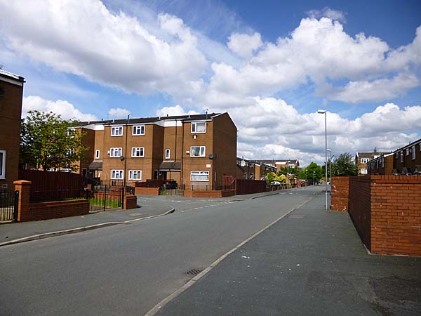
   The corner of Cochrane Avenue and Dillon Drive. 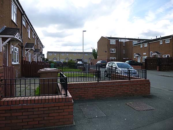 Looking back down Dillon Drive. 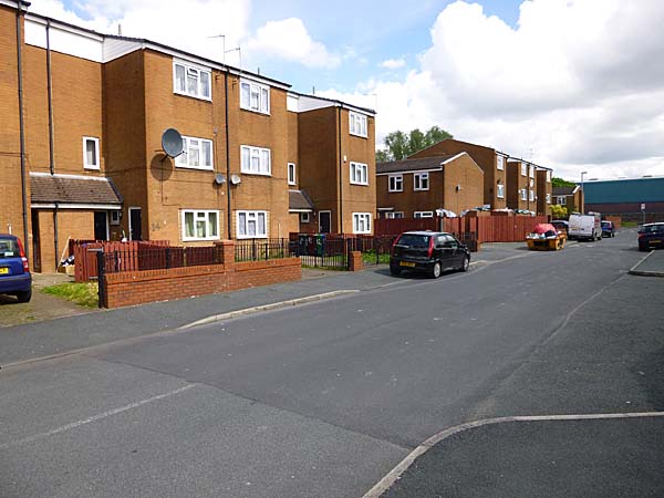 Looking north along
Cochrane Avenue. This avenue is laid out
roughly along the route of the former Earl
Street.
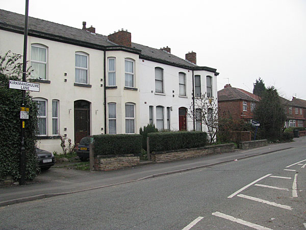
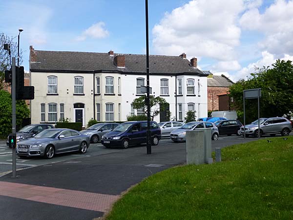
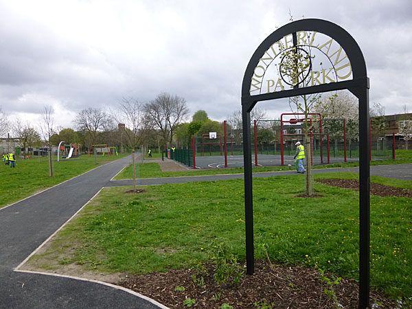
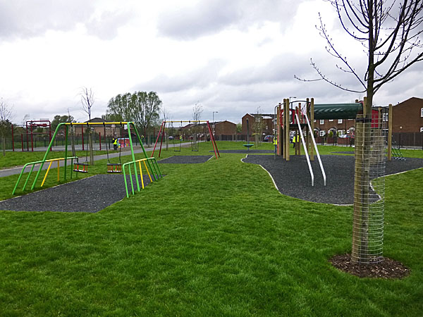
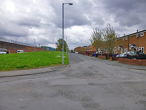
  The corner with Edlin Close. 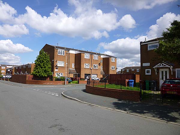 Culford Close.  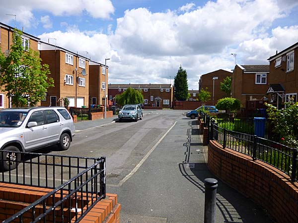 South Street is where it always was. Below you can see the view looking south. 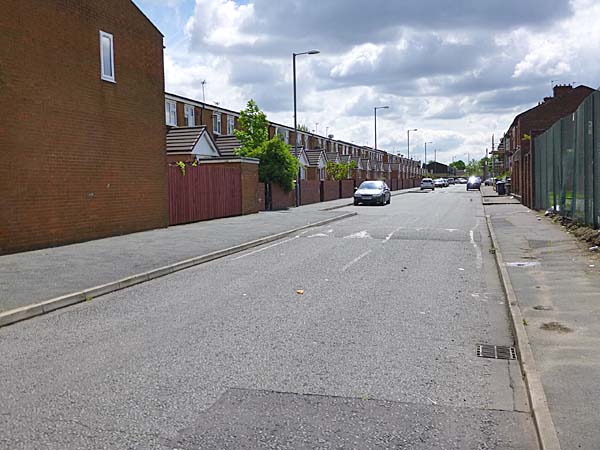 Further down South Street there are some houses that survived the clearances of the 1960s and 1970s. 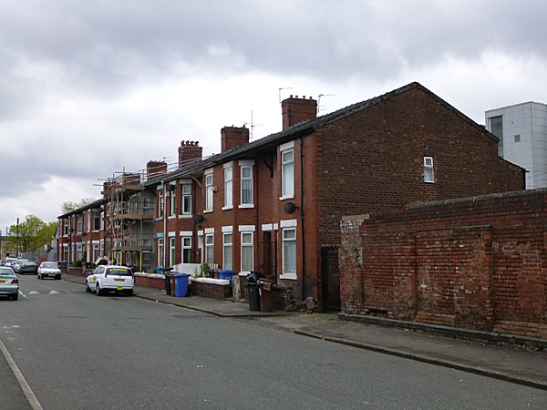 Looking across to the Daisy Mill from South Street. 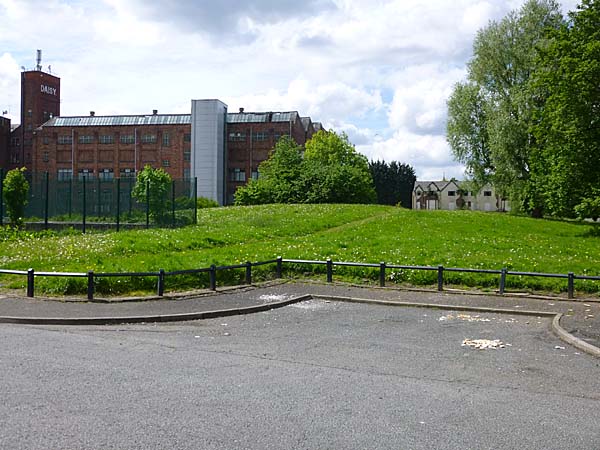 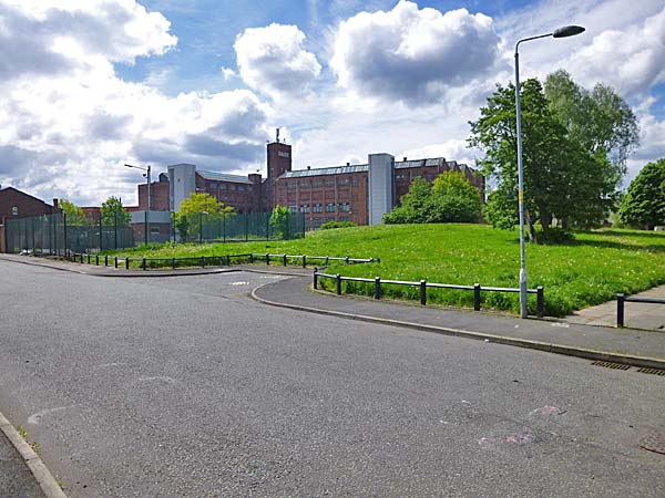 A path that runs close to the route of Upper Plymouth Grove heading towards Stockport Road. 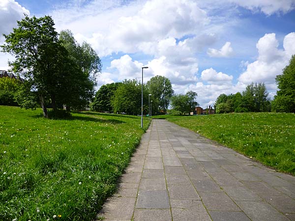 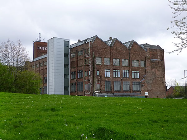  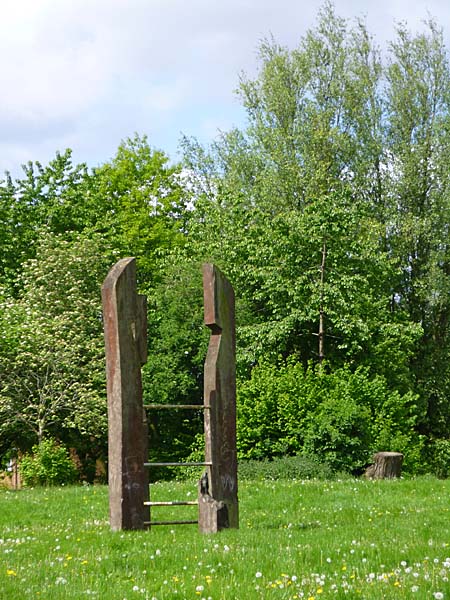 Returning to Cochran Avenue and going further north you find the Richmond Park Pupil Referral Unit. 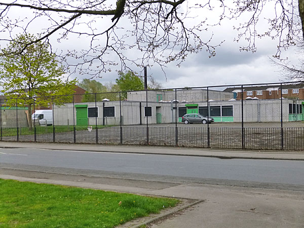 Beyond it is the newly
created Wonderland Park built on the site of
what I knew as the Sand Park or Grey Street
Recreation Ground.
  Nearby is St. Luke's Primary School and Nursery 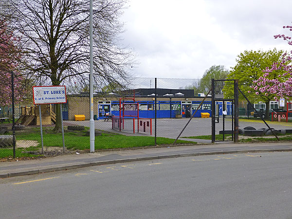 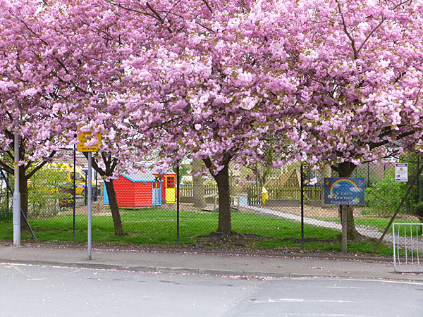 Grey Street still lies at
the northern end of Wonderland Park and you
can still follow it out to New Bank
Street. The image below shows Martindale
Crescent with New Bank Street off to the left.
 Grey Street continues on to Hyde Road passing beneath the railway line that goes into Piccadilly Station. 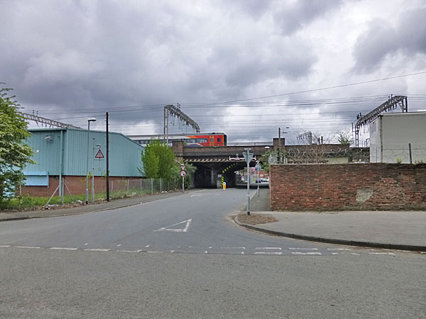 The road leading off to the
right is Sunny Lowry Way named after the lady
who swam the Channel having trained at
Victoria Baths.
 ****************** If we return to the corner
of Stockport Road and Kirkmanshulme Lane and
this time follow Stockport Road, there is a
mixture of the old and the new.
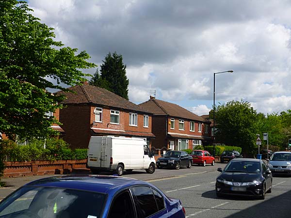
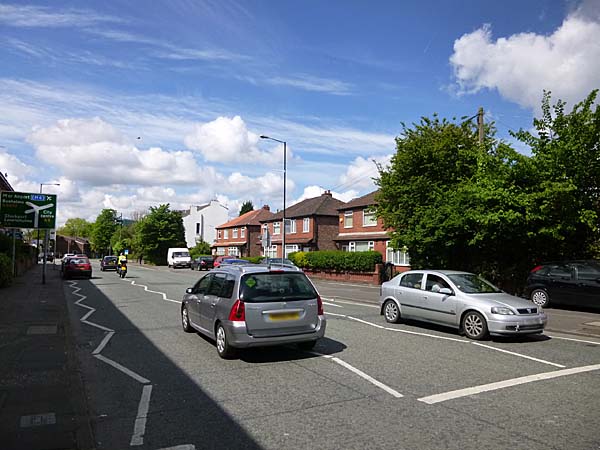
Newton Avenue and Overton House 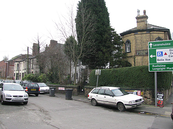 New Bank Health Centre, Stockport Road 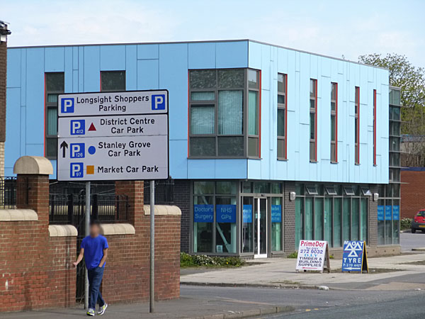 Stockport Road housing where Park Avenue and Lime Grove once joined the main road. 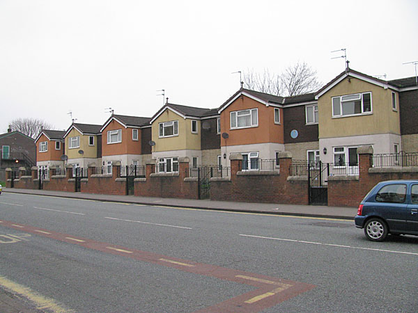 The now closed New Victoria Pub on Stockport Road 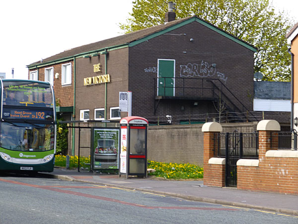 Looking beyond the Richmond Grove corner to the Daisy Mill in the distance 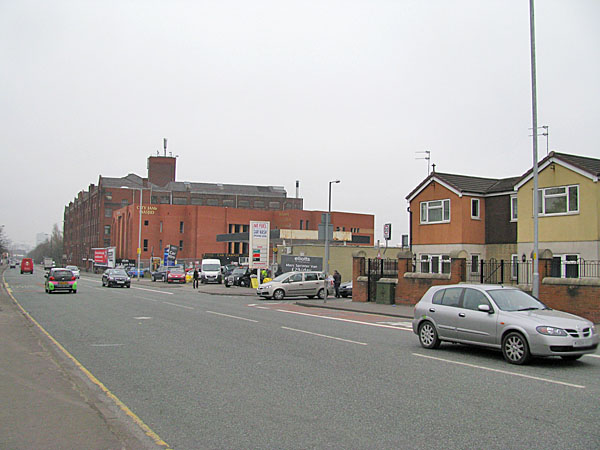 |